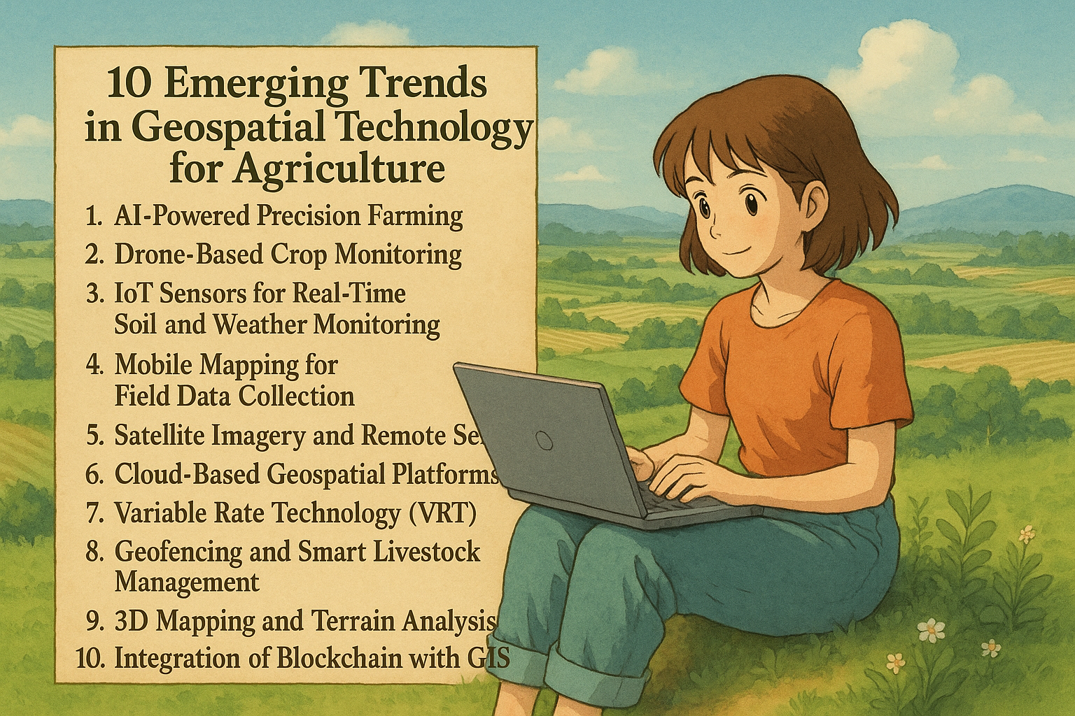
In the age of smart farming, geospatial technology is transforming how we grow food and manage land. With the integration...

In the age of smart farming, geospatial technology is transforming how we grow food and manage land. With the integration...

Ideal for university students looking for impactful research areas Geographic Information Systems (GIS) have revolutionized modern agriculture by enabling precise...

In 2025, Geographic Information Systems (GIS) are more than just maps—they’re powerful decision-making tools reshaping how farmers manage land, resources,...

Explore NDVI, Crop Growth Stages, and Essential Remote Sensing Tools Remote sensing is revolutionizing modern agriculture, offering farmers, agronomists, and...
Empowering Climate-Smart and Eco-Friendly Farming Through Geospatial Intelligence As the world grapples with climate change, soil degradation, and food insecurity,...

In the modern era of precision agriculture, Geographic Information Systems (GIS) have become a game-changer. By integrating location-based data with...

Digitizing is at the core of any GIS project — whether you’re mapping land parcels, tracing buildings, or creating utility...

As the demand for geospatial data, infrastructure development, and real estate continues to rise, land surveyors are uniquely positioned to...

In today’s data-driven world, Geographic Information System (GIS) software plays a vital role across industries. From urban planning and agriculture...