What is a Digital Elevation Model (DEM)? The Complete Guide 2025
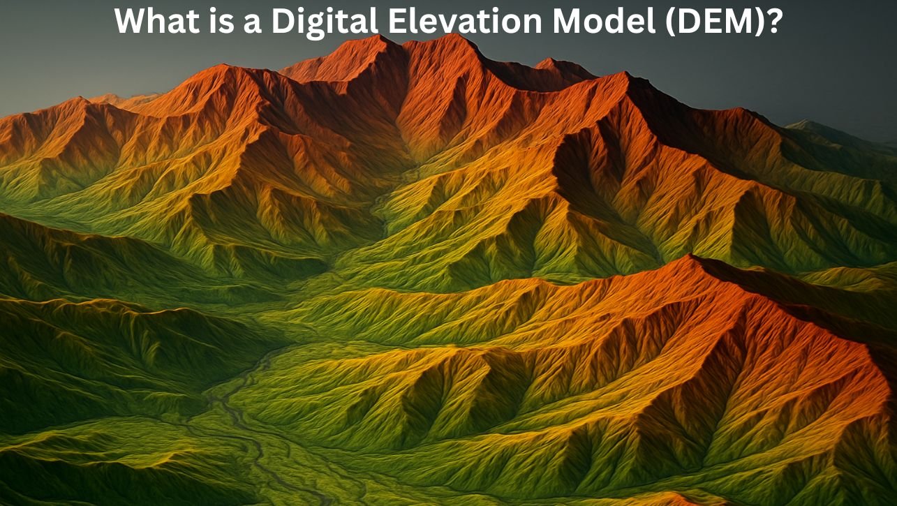
Imagine you have a map of your favorite national park. It shows you trails, rivers, and forests, but it’s flat. Now, imagine if that map could spring to life, revealing the towering peaks, deep valleys, and rolling hills that define its true character. This is the power of a Digital Elevation Model (DEM). A DEM is more than just a pretty 3D visualization; it is a fundamental geospatial dataset that forms the backbone of countless analyses in fields ranging from flood prediction and urban planning to video game design and archaeology. But what is a Digital Elevation Model exactly? In this guide, we’ll demystify DEMs, explore how they are created, and uncover their critical role in helping us understand and interact with the shape of our world. What is a Digital Elevation Model (DEM)? A Digital Elevation Model (DEM) is a digital representation of the bare-earth terrain, excluding natural and man-made features like trees, buildings, and power lines. Think of it as a “bald earth” model. It represents the ground surface at a specific resolution, where each pixel in the dataset holds a value representing its elevation above a fixed datum (usually sea level). DEM vs. DTM vs. DSM: Untangling the Acronyms This is a common point of confusion. Understanding the difference is crucial to using the right data for your project. Digital Elevation Model (DEM): This is often used as a catch-all term, but technically, it’s a subset of the DTM. A DEM is a raster grid of uniform, spaced elevation points. Digital Terrain Model (DTM): This represents the bare-earth surface and includes breaklines—features that define the terrain’s shape, like ridges, valleys, and coastlines. In many contexts, especially in the US, DEM and DTM are used interchangeably, but a DTM can be more detailed. Digital Surface Model (DSM): This represents the top of all surface features, including buildings, vegetation, and power lines. It’s what you would see if you could “lift off” the top of the world. The Simple Analogy: DSM: The top of a forest’s canopy. DEM/DTM: The forest floor. How Are Digital Elevation Models Created? DEMs can be generated through several advanced technologies, each with its own pros and cons. 1. Remote Sensing (The Most Common Methods) Satellite-Based Radar (InSAR): Satellites like the SRTM (Shuttle Radar Topography Mission) and TanDEM-X use radar to measure the distance between the satellite and the ground. By comparing multiple radar images, they can generate a highly accurate global DEM. This is the source for much of the free, medium-resolution DEM data available today. Optical Stereoscopy: This method works like how our eyes perceive depth. Satellites (like ASTER or WorldView) or aircraft capture two or more images of the same area from different angles. By analyzing the parallax difference between these images, elevation can be calculated. This is how the ASTER GDEM was created. LiDAR (Light Detection and Ranging): This is the gold standard for high-resolution elevation data. An aircraft-mounted LiDAR sensor fires rapid laser pulses at the ground. By measuring the time it takes for each pulse to return, it can calculate precise distances. LiDAR directly produces a DSM, but through complex filtering, the points reflected from the ground can be isolated to create an extremely accurate DEM. 2. Traditional Surveying While less common for large areas today, traditional land surveying with GPS and total stations is still used for creating highly precise DEMs for small-scale engineering projects. Key Characteristics of a DEM When choosing a DEM for your project, you need to consider these three critical properties: Resolution: This refers to the ground distance represented by each pixel (the cell size). Low Resolution (e.g., 30-90 meters): SRTM (30m/90m), ASTER GDEM (30m). Best for regional or continental-scale analysis. Medium Resolution (e.g., 10-30 meters): ALOS PALSAR (12.5m). Good for watershed analysis. High Resolution (e.g., 1-5 meters): USGS 3DEP LiDAR (1m), EU Copernicus DEM. Essential for detailed urban planning or engineering. Accuracy (Vertical/Horizontal): How close the elevation values are to the true ground height. High-accuracy LiDAR DEMs can have vertical accuracies of 10-15 centimeters. Data Format: DEMs are most commonly distributed as raster files (like GeoTIFF), where each pixel’s value is its elevation. Read Also: ArcGIS Pro vs. QGIS: The Ultimate 2025 Showdown (Pros, Cons & Verdict) Multispectral vs. Hyperspectral Imagery: A Clear-Cut Guide For 2025 The Power of DEMs: Essential Applications The true value of a DEM is unlocked through spatial analysis. Here are the most common and critical applications: 1. Hydrology and Watershed Analysis (The #1 Use Case) DEMs are indispensable for understanding water flow. Delineating Watersheds: By analyzing flow direction from every cell, a DEM can automatically map the entire area that drains into a specific river or lake. Modeling Flood Inundation: Hydrologists use DEMs to simulate how water will spread across a landscape during a flood event, which is critical for risk assessment and insurance mapping. Creating Stream Networks: By following the path of steepest descent, a DEM can derive where rivers and streams are likely to flow, even if they aren’t mapped. 2. Creating Terrain Visualizations Hillshades: By simulating the sun’s angle, a DEM can create a realistic shaded relief map, making terrain features pop out. Slope and Aspect Maps: These are direct derivatives of a DEM. Slope indicates the steepness (crucial for landslide risk), and Aspect shows the direction a slope faces (important for agriculture and solar panel placement). 3D Fly-throughs: DEMs provide the base terrain for creating immersive 3D visualizations in GIS software and game engines. 3. Engineering and Planning Site Selection: For construction, roads, or infrastructure, planners use DEMs to find the flattest, most stable land. Cut-and-Fill Calculations: DEMs are used to calculate the volume of earth that needs to be moved (cut) or added (fill) to level a construction site. Line of Sight Analysis: Used for planning telecommunications towers, wind farms, and military operations to determine what is visible from a given point. 4. Environmental and Geological Applications Landslide Risk Modeling: By combining slope data from a DEM with geological information, scientists can identify areas prone to landslides. Glacier and Coastal Monitoring: Comparing DEMs from different dates allows scientists to measure glacial retreat and coastal erosion with precision. Where to Find Free DEM Data Sources? Fortunately, a wealth of high-quality DEM data is available for free: USGS EarthExplorer (Global): The … Read more