
Geographic Information Systems (GIS) have become essential in various industries, from urban planning to environmental management. However, traditional GIS methods often require extensive manual effort, making them time-consuming and prone to human error. DeepSeek AI is transforming GIS by automating key processes such as land classification, remote sensing, and spatial modeling, significantly improving efficiency and accuracy. In this blog, we will explore how DeepSeek AI is revolutionizing GIS automation and its impact on the geospatial industry.
How DeepSeek AI is Revolutionizing GIS Automation?
1. Automating Land Classification with DeepSeek AI
Land classification is a critical GIS function used in agriculture, forestry, urban planning, and environmental monitoring. Traditional classification methods rely on manual feature extraction, which is both slow and expensive. DeepSeek AI automates this process using machine learning and deep learning algorithms.
How DeepSeek AI Improves Land Classification

- AI-Powered Image Recognition: Analyzes satellite imagery to classify land into categories such as vegetation, water bodies, and urban areas.
- Real-Time Data Processing: Provides up-to-date classification, reducing delays in decision-making.
- Increased Accuracy: Eliminates human bias and improves classification precision by learning from vast datasets.
Use Case Example:
🌾 Agriculture: AI-driven GIS tools can detect crop health, soil moisture levels, and irrigation needs, helping farmers optimize yields.
🏙️ Urban Development: Governments can monitor urban sprawl and infrastructure development using AI-based land classification models.
2. Enhancing Remote Sensing with AI Automation
Remote sensing involves collecting and analyzing data from satellite images, aerial photography, and LiDAR scans. Traditional methods require manual annotation and interpretation, making them labor-intensive. DeepSeek AI automates this process, making it faster and more reliable.
Key Benefits of AI in Remote Sensing
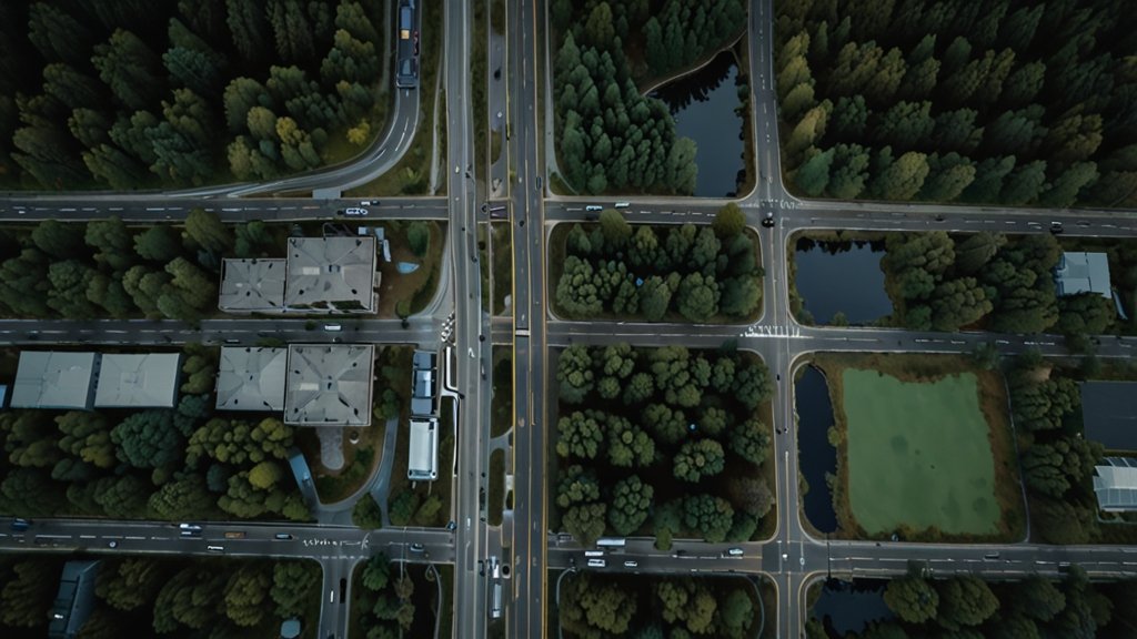
- Automated Feature Detection: Identifies objects like roads, buildings, forests, and rivers without human intervention.
- Change Detection Over Time: AI can analyze historical and current imagery to track environmental changes, deforestation, and urban expansion.
- Disaster Prediction and Response: AI-powered remote sensing helps in predicting floods, wildfires, and landslides, enabling quicker responses.
Use Case Example:
🌍 Climate Change Monitoring: AI models detect deforestation, melting glaciers, and rising sea levels, helping researchers take timely actions.
🚁 Disaster Management: AI-powered GIS systems provide real-time maps for emergency response teams during hurricanes, earthquakes, and wildfires.
See Also: DeepSeek AI in GIS: A New Era of Geospatial Intelligence [2025]
3. AI-Powered Spatial Modeling for GIS Automation
Spatial modeling involves simulating real-world geographic conditions to predict future scenarios. This process is traditionally complex and requires significant computational power. DeepSeek AI simplifies spatial modeling with its AI-driven approach.
How DeepSeek AI Enhances Spatial Modeling

- Predictive Analytics: AI models forecast future land use, traffic patterns, and environmental changes.
- Simulation of Natural Disasters: AI-powered models can simulate flood zones, wildfire spread, and earthquake impacts.
- Automated Decision-Making: Governments and businesses can use AI-powered GIS models to plan infrastructure, optimize logistics, and manage resources efficiently.
Use Case Example:
🚗 Smart Cities: AI models predict traffic congestion, enabling city planners to optimize road networks and public transport systems.
🌊 Flood Risk Assessment: AI-driven GIS tools simulate flood scenarios to improve disaster preparedness and response strategies.
See Also: GeoAI: The New Era of Artificial Intelligence in Geography
4. The Future of GIS Automation with DeepSeek AI
As AI technology continues to evolve, GIS automation will become even more sophisticated. DeepSeek AI is paving the way for fully automated geospatial analysis, reducing human effort while improving accuracy and decision-making.
Future Trends in AI-GIS Integration

🔹 Real-Time AI Mapping: Fully automated, real-time mapping with AI-driven spatial intelligence.
🔹 Integration with IoT Devices: AI-powered GIS systems combined with IoT sensors for live geospatial monitoring.
🔹 Augmented Reality in GIS: AI-enhanced GIS applications for immersive, real-world simulations.
See Also: How GIS Users Use DeepSeek AI: Transforming Spatial Analysis with AI-Powered Insights
Conclusion
DeepSeek AI is revolutionizing GIS automation by transforming how land classification, remote sensing, and spatial modeling are conducted. By leveraging AI, organizations can achieve higher efficiency, better accuracy, and faster decision-making in geospatial analysis. As AI continues to advance, the future of GIS lies in full automation, predictive analytics, and real-time intelligence, making it an invaluable tool for various industries.
1 thought on “How DeepSeek AI is Revolutionizing GIS Automation [2025]”