Using DeepSeek AI for Predictive Spatial Analytics in GIS [2025]

DeepSeek AI for Predictive Spatial Analytics

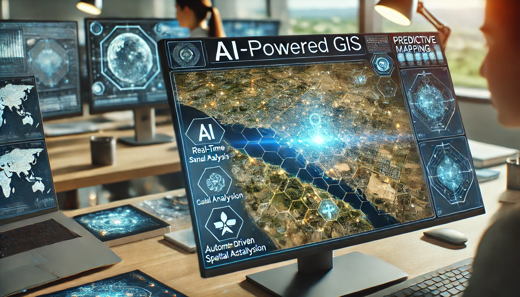
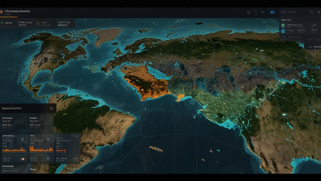
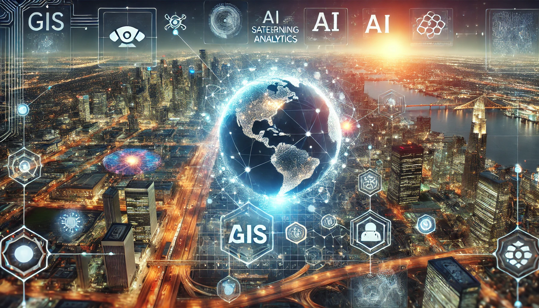
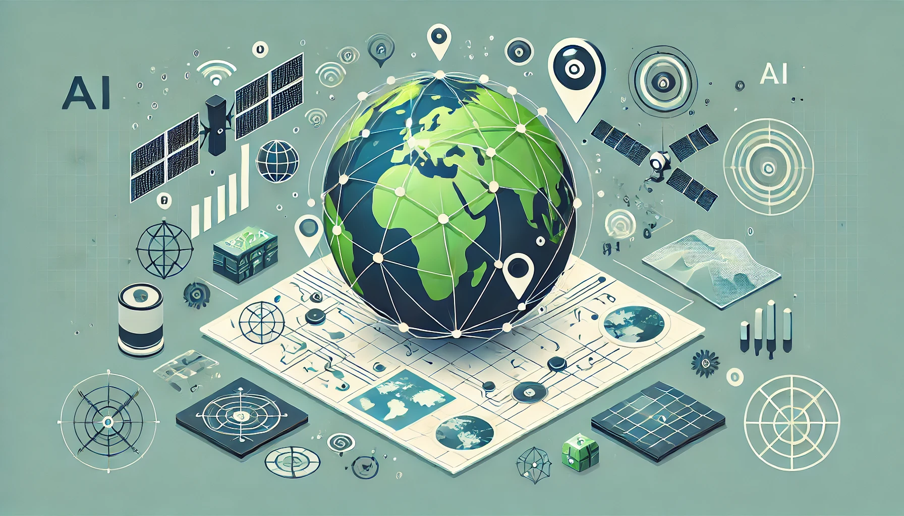
Geographic Information Systems (GIS) are essential for analyzing spatial data, but their true potential is unlocked when combined with Artificial Intelligence (AI). DeepSeek AI for Predictive Spatial Analytics is a powerful AI-driven tool, is transforming predictive spatial analytics in GIS by forecasting land-use changes, natural disasters, and urban expansion. This blog explores how DeepSeek AI enhances predictive analytics and revolutionizes geospatial decision-making How DeepSeek AI Enhances Predictive Analytics What is DeepSeek AI? DeepSeek AI is a Chinese artificial intelligence company based in Hangzhou, Zhejiang, founded in 2023 by Liang Wenfeng. The company has gained significant attention for developing powerful and cost-effective AI models, notably the DeepSeek-R1 and DeepSeek-V3 series. These models are recognized for their efficiency and performance, rivaling those of leading AI firms. DeepSeek’s AI models are open-source, allowing developers worldwide to access and build upon their technology. The company offers various platforms for interaction with their AI, including a web-based chat interface and a mobile application available on the App Store. 1. Understanding Predictive Spatial Analytics in GIS Predictive spatial analytics leverages AI and machine learning to analyze historical and real-time geospatial data. DeepSeek AI uses algorithms that identify patterns, recognize trends, and make accurate spatial predictions. 🔹 Key Capabilities of AI in GIS Predictions: Analyzing spatial-temporal data. Detecting environmental changes over time. Predicting land-use transformations and natural disasters. Supporting smart city planning with AI-driven forecasts. 2. Predicting Land-Use Changes with DeepSeek AI Land-use changes occur due to urbanization, deforestation, agricultural expansion, and climate change. AI-driven GIS tools analyze satellite imagery, demographic data, and socio-economic factors to predict future land-use patterns. How DeepSeek AI Helps: ✅ AI-Powered Satellite Image Analysis – Identifies land cover changes using deep learning models. ✅ Predictive Modeling for Urban Growth – Uses historical trends to forecast how cities will expand. ✅ Sustainable Development Planning – Helps governments and organizations plan infrastructure development while considering environmental impact. 🔹 Use Case Example: 🌍 Urban Planning: AI-driven models predict how land use will evolve in fast-growing cities, enabling efficient zoning and development strategies. See Also: Top 10 GIS Apps Powered by AI: A Future Perspective 3. AI for Natural Disaster Prediction & Management Predicting natural disasters such as floods, wildfires, hurricanes, and earthquakes is critical for reducing risks and improving emergency response. DeepSeek AI enhances GIS capabilities by processing geospatial data for early warnings and real-time disaster mapping. Key AI Applications in Disaster Prediction: ✅ Flood Risk Assessment – Analyzes elevation models and rainfall patterns to predict flooding areas. ✅ Wildfire Spread Simulation – Uses temperature, vegetation, and wind speed data to forecast wildfire outbreaks. ✅ Earthquake Impact Analysis – Detects seismic activity trends and assesses structural vulnerability. 🔹 Use Case Example: 🚨 Disaster Preparedness: Governments can use AI-powered GIS models to prepare early evacuation plans and allocate emergency resources efficiently. 4. AI-Driven Urban Expansion Forecasting Rapid urbanization leads to challenges in transportation, housing, and infrastructure development. DeepSeek AI integrates GIS data with AI-powered simulations to predict how urban areas will evolve over time. How AI Enhances Urban Expansion Models: ✅ Traffic Flow Predictions – Forecasts congestion patterns to optimize road networks. ✅ Smart City Planning – Assists in sustainable infrastructure development. ✅ Population Growth Analysis – Uses AI-based trend detection for accurate demographic forecasting. 🔹 Use Case Example: 🏙 Smart Cities: AI-powered GIS predicts future transportation needs, helping cities develop efficient public transport systems and reduce traffic congestion. See Also: How DeepSeek AI is Revolutionizing GIS Automation [2025] 5. The Future of Predictive Spatial Analytics with AI The integration of AI and GIS will continue to revolutionize geospatial decision-making. As DeepSeek AI evolves, predictive spatial analytics will become even more accurate and efficient. Future Trends to Watch: 🚀 AI-Integrated IoT for Real-Time Spatial Data Monitoring. 🌍 AI-Powered Climate Change Forecasting. 🏗 Automated Urban Planning with AI-Driven Geospatial Intelligence. Conclusion DeepSeek AI is transforming predictive spatial analytics in GIS by offering real-time data analysis, land-use forecasting, disaster prediction, and urban expansion modeling. As AI technology advances, its integration with GIS will play a vital role in shaping smarter cities, improving disaster resilience, and promoting sustainable land-use practices. Organizations that embrace AI-driven GIS solutions will have a competitive edge in spatial intelligence and geospatial decision-making. Frequently Asked Questions (FAQs) Q1: How does AI improve predictive spatial analytics in GIS? AI enhances GIS by analyzing historical and real-time geospatial data to predict land-use changes, urban growth, and natural disasters. Q2: Can DeepSeek AI predict natural disasters? Yes, DeepSeek AI analyzes satellite imagery, weather patterns, and environmental data to provide early warnings for floods, wildfires, and earthquakes. Q3: How can AI-powered GIS help urban planning? AI assists city planners by forecasting population growth, traffic congestion, and infrastructure needs, enabling smarter urban development. Q4: What industries benefit from AI-driven GIS? Industries such as urban planning, disaster management, environmental monitoring, and agriculture benefit significantly from AI-powered GIS analytics. Q5: What is the future of AI in GIS? The future includes real-time AI mapping, IoT-driven geospatial intelligence, and AI-powered environmental forecasting.

Top 10 GIS Apps Powered by AI: A Future Perspective

GIS Apps Powered by AI

Geographic Information Systems (GIS) are evolving rapidly, thanks to the integration of Artificial Intelligence (AI). AI-powered GIS apps are transforming geospatial analysis, enhancing decision-making, and automating complex spatial tasks. From real-time mapping to predictive analytics, AI in GIS is revolutionizing various industries, including urban planning, environmental monitoring, and transportation. In this article, we will explore the top 10 GIS apps powered by AI that are leading the way in geospatial data analysis and visualization. What Are GIS Apps Powered by AI? GIS (Geographic Information Systems) apps powered by AI are advanced mapping and spatial analysis applications that integrate artificial intelligence to automate, analyze, and enhance geospatial data processing. These apps utilize machine learning (ML), deep learning, and AI-driven algorithms to improve accuracy, automate workflows, and provide predictive insights. Top 10 GIS Apps Powered by AI Here’re listed these 10 GIS Apps Powered by AI that make you GIS related Work Easy: 1. ArcGIS AI (Esri) 📌 Key Features: AI-driven predictive modeling for land use and environmental analysis. Automated feature extraction from satellite imagery. Integration with deep learning frameworks like TensorFlow. 🌍 Why It Stands Out: ArcGIS AI seamlessly blends AI-driven geospatial intelligence with robust GIS tools, making it a go-to choice for professionals. 2. Google Earth Engine AI 📌 Key Features: AI-based land classification and change detection. Cloud computing for large-scale geospatial analysis. Advanced deep learning integration for satellite imagery. 🌍 Why It Stands Out: It leverages Google’s AI capabilities to process and analyze vast amounts of satellite data in real-time. 3. QGIS with AI Plugins 📌 Key Features: Open-source AI-powered geospatial data processing. Supports AI plugins for object detection and classification. Works with Python-based AI models for automation. 🌍 Why It Stands Out: Being open-source and community-driven, QGIS offers customizable AI functionalities for GIS professionals and researchers. See Also: How DeepSeek AI is Revolutionizing GIS Automation [2025] 4. Hexagon Smart M.Apps 📌 Key Features: AI-driven dynamic geospatial analytics. Real-time data visualization using AI-powered models. Cloud-based interactive GIS mapping solutions. 🌍 Why It Stands Out: It provides AI-powered location intelligence for business insights and smart city planning. 5. GeoAI by Microsoft 📌 Key Features: AI-driven geospatial predictions and trend analysis. Machine learning integration for land-use planning. Supports Azure AI services for spatial data analytics. 🌍 Why It Stands Out: Microsoft’s cloud-based AI GIS solutions enable advanced geospatial decision-making across industries. See Also: DeepSeek AI in GIS: A New Era of Geospatial Intelligence [2025] 6. ENVI Deep Learning (L3Harris) 📌 Key Features: AI-based image classification and feature detection. Automates remote sensing analysis. Works with multispectral and hyperspectral satellite images. 🌍 Why It Stands Out: It’s widely used in defense, agriculture, and environmental monitoring for AI-driven geospatial intelligence. 7. TensorFlow GIS 📌 Key Features: AI-powered spatial modeling and predictive analytics. Custom deep learning models for GIS applications. Supports automated geospatial data classification. 🌍 Why It Stands Out: This integration allows GIS professionals to leverage deep learning for advanced spatial data analysis. 8. IBM PAIRS Geoscope 📌 Key Features: AI-powered real-time geospatial data analytics. Works with big data and IoT for GIS applications. Machine learning-based risk assessment models. 🌍 Why It Stands Out: IBM’s AI-driven GIS solution is highly scalable and integrates seamlessly with enterprise applications. See Also: How GIS Users Use DeepSeek AI: Transforming Spatial Analysis with AI-Powered Insights 9. GeoAI Platform by NVIDIA 📌 Key Features: Uses deep learning for geospatial data processing. High-performance AI-driven geospatial visualization. Supports real-time remote sensing applications. 🌍 Why It Stands Out: NVIDIA’s GPU-powered AI models accelerate GIS analytics, making it one of the fastest AI GIS platforms. 10. Ordnance Survey AI GIS 📌 Key Features: AI-based topographic data mapping. Smart geospatial data automation tools. AI-powered risk and disaster management modeling. 🌍 Why It Stands Out: This app is particularly useful for urban planning, land surveying, and national mapping agencies. Future of AI in GIS The fusion of Artificial Intelligence with GIS is unlocking new possibilities in spatial intelligence, predictive analytics, and automated mapping. With continuous advancements in machine learning, deep learning, and cloud computing, AI-powered GIS applications will become even more efficient and widely adopted. Key Trends to Watch: 📡 AI-Driven Satellite Image Analysis for enhanced land monitoring. 🏙 Smart Cities Development using predictive geospatial analytics. 🚀 Autonomous GIS Systems for real-time environmental and disaster response. Why Are AI-Powered GIS Apps Important? 🌍 Enhanced Accuracy – AI eliminates human errors in spatial analysis. ⏳ Faster Processing – Automates mapping and data classification, reducing processing time. 🔍 Better Decision-Making – AI-driven GIS insights help in urban planning, agriculture, transportation, and disaster management. Conclusion AI-powered GIS applications are revolutionizing spatial data analysis and geospatial decision-making. From real-time mapping to predictive analytics, these AI GIS apps are shaping the future of industries like urban planning, environmental monitoring, and disaster management. By leveraging AI-driven geospatial intelligence, organizations can unlock new levels of efficiency, accuracy, and automation in their GIS workflows. Frequently Asked Questions (FAQs) Q1: What is the role of AI in GIS applications? Ans: AI enhances GIS applications by automating spatial analysis, improving data accuracy, and enabling predictive geospatial modeling. Q2: Which is the best AI-powered GIS app? Ans: ArcGIS AI, Google Earth Engine AI, and QGIS AI plugins are among the most popular AI-integrated GIS applications. Q3: How does AI improve remote sensing in GIS? Ans: AI automates image classification, object detection, and change detection in satellite imagery, improving efficiency and accuracy. Q4: What industries benefit the most from AI GIS applications? Ans: Urban planning, agriculture, environmental monitoring, disaster management, and transportation benefit significantly from AI-powered GIS. Q5: What is the future of AI in GIS? Ans: The future of AI in GIS includes real-time geospatial intelligence, autonomous mapping, and AI-driven predictive spatial analysis.

How DeepSeek AI is Revolutionizing GIS Automation [2025]

DeepSeek AI, GIS

Geographic Information Systems (GIS) have become essential in various industries, from urban planning to environmental management. However, traditional GIS methods often require extensive manual effort, making them time-consuming and prone to human error. DeepSeek AI is transforming GIS by automating key processes such as land classification, remote sensing, and spatial modeling, significantly improving efficiency and accuracy. In this blog, we will explore how DeepSeek AI is revolutionizing GIS automation and its impact on the geospatial industry. How DeepSeek AI is Revolutionizing GIS Automation? 1. Automating Land Classification with DeepSeek AI Land classification is a critical GIS function used in agriculture, forestry, urban planning, and environmental monitoring. Traditional classification methods rely on manual feature extraction, which is both slow and expensive. DeepSeek AI automates this process using machine learning and deep learning algorithms. How DeepSeek AI Improves Land Classification AI-Powered Image Recognition: Analyzes satellite imagery to classify land into categories such as vegetation, water bodies, and urban areas. Real-Time Data Processing: Provides up-to-date classification, reducing delays in decision-making. Increased Accuracy: Eliminates human bias and improves classification precision by learning from vast datasets. Use Case Example: 🌾 Agriculture: AI-driven GIS tools can detect crop health, soil moisture levels, and irrigation needs, helping farmers optimize yields. 🏙️ Urban Development: Governments can monitor urban sprawl and infrastructure development using AI-based land classification models. 2. Enhancing Remote Sensing with AI Automation Remote sensing involves collecting and analyzing data from satellite images, aerial photography, and LiDAR scans. Traditional methods require manual annotation and interpretation, making them labor-intensive. DeepSeek AI automates this process, making it faster and more reliable. Key Benefits of AI in Remote Sensing Automated Feature Detection: Identifies objects like roads, buildings, forests, and rivers without human intervention. Change Detection Over Time: AI can analyze historical and current imagery to track environmental changes, deforestation, and urban expansion. Disaster Prediction and Response: AI-powered remote sensing helps in predicting floods, wildfires, and landslides, enabling quicker responses. Use Case Example: 🌍 Climate Change Monitoring: AI models detect deforestation, melting glaciers, and rising sea levels, helping researchers take timely actions. 🚁 Disaster Management: AI-powered GIS systems provide real-time maps for emergency response teams during hurricanes, earthquakes, and wildfires. See Also: DeepSeek AI in GIS: A New Era of Geospatial Intelligence [2025] 3. AI-Powered Spatial Modeling for GIS Automation Spatial modeling involves simulating real-world geographic conditions to predict future scenarios. This process is traditionally complex and requires significant computational power. DeepSeek AI simplifies spatial modeling with its AI-driven approach. How DeepSeek AI Enhances Spatial Modeling Predictive Analytics: AI models forecast future land use, traffic patterns, and environmental changes. Simulation of Natural Disasters: AI-powered models can simulate flood zones, wildfire spread, and earthquake impacts. Automated Decision-Making: Governments and businesses can use AI-powered GIS models to plan infrastructure, optimize logistics, and manage resources efficiently. Use Case Example: 🚗 Smart Cities: AI models predict traffic congestion, enabling city planners to optimize road networks and public transport systems. 🌊 Flood Risk Assessment: AI-driven GIS tools simulate flood scenarios to improve disaster preparedness and response strategies. See Also: GeoAI: The New Era of Artificial Intelligence in Geography 4. The Future of GIS Automation with DeepSeek AI As AI technology continues to evolve, GIS automation will become even more sophisticated. DeepSeek AI is paving the way for fully automated geospatial analysis, reducing human effort while improving accuracy and decision-making. Future Trends in AI-GIS Integration 🔹 Real-Time AI Mapping: Fully automated, real-time mapping with AI-driven spatial intelligence. 🔹 Integration with IoT Devices: AI-powered GIS systems combined with IoT sensors for live geospatial monitoring. 🔹 Augmented Reality in GIS: AI-enhanced GIS applications for immersive, real-world simulations. See Also: How GIS Users Use DeepSeek AI: Transforming Spatial Analysis with AI-Powered Insights Conclusion DeepSeek AI is revolutionizing GIS automation by transforming how land classification, remote sensing, and spatial modeling are conducted. By leveraging AI, organizations can achieve higher efficiency, better accuracy, and faster decision-making in geospatial analysis. As AI continues to advance, the future of GIS lies in full automation, predictive analytics, and real-time intelligence, making it an invaluable tool for various industries. Frequently Asked Questions (FAQs) Q1: How does DeepSeek AI improve GIS automation? DeepSeek AI automates data processing, classification, and analysis, reducing manual effort and improving accuracy. Q2: Can AI predict environmental changes using GIS? Yes, AI-driven GIS models analyze historical data to predict climate change, deforestation, and urban expansion. Q3: How does AI enhance land classification? DeepSeek AI uses machine learning to classify land types in satellite images with high accuracy and real-time updates. Q4: What industries benefit from AI-powered GIS automation? Industries such as agriculture, urban planning, disaster management, and transportation benefit greatly from AI-enhanced GIS applications. Q5: What is the future of AI in GIS? The future includes real-time AI mapping, IoT integration, and AI-driven spatial intelligence for predictive decision-making.

DeepSeek AI in GIS: A New Era of Geospatial Intelligence [2025]

DeepSeek AI in GIS

Geospatial Information Systems (GIS) have long been crucial in mapping, spatial analysis, and location-based decision-making. However, traditional GIS tools often struggle with handling large datasets, real-time analysis, and predictive modeling. With the advent of DeepSeek AI, a powerful AI-driven tool, the GIS landscape is undergoing a transformation. This article explores how DeepSeek AI enhances GIS data processing, spatial analysis, and automation, revolutionizing the geospatial industry. Understanding DeepSeek AI in GIS DeepSeek AI is an artificial intelligence framework that integrates with GIS applications to streamline spatial data processing, automate complex analyses, and generate accurate insights. AI-powered GIS applications enhance efficiency, reduce manual effort, and improve decision-making in various domains, including urban planning, environmental monitoring, and disaster management. Key Capabilities of DeepSeek AI in GIS Advanced Spatial Data Processing – Handles massive geospatial datasets efficiently. AI-Powered Spatial Analysis – Enables predictive modeling and real-time insights. Automation in GIS Workflows – Reduces manual efforts and speeds up processes. Improved Data Accuracy – Uses AI-driven data correction techniques. Real-Time Monitoring and Forecasting – Helps in disaster prediction and response. 1. Enhancing GIS Data Processing with DeepSeek AI Big Data Handling & Management GIS applications generate vast amounts of spatial data, which are difficult to process using conventional methods. DeepSeek AI enables: Efficient Data Cleaning & Preprocessing – Identifying and correcting errors in geospatial datasets. Faster Data Processing – AI-based algorithms reduce computational time. Seamless Integration with Cloud Computing – Supports large-scale GIS projects with cloud-based AI solutions. Automating Geospatial Data Classification DeepSeek AI leverages machine learning techniques such as: Image Classification for Remote Sensing – Automatically classifies satellite images for land-use analysis. Object Detection in GIS – Identifies buildings, water bodies, and vegetation from aerial imagery. Spatial Data Labeling – Improves the accuracy of geospatial datasets using AI-driven annotation. See Also: How GIS Users Use DeepSeek AI: Transforming Spatial Analysis with AI-Powered Insights 2. AI-Powered Spatial Analysis: The Future of GIS Predictive Modeling for Environmental Monitoring DeepSeek AI allows GIS professionals to predict environmental changes with high accuracy: Climate Change Impact Analysis – AI models forecast temperature changes and sea-level rise. Air Pollution Prediction – AI-based GIS tools analyze air quality trends using geospatial data. Flood and Disaster Risk Assessment – Deep learning models simulate flood-prone areas for better disaster preparedness. AI in Urban Planning and Smart Cities AI-driven GIS is transforming urban development with: Traffic Flow Prediction – AI models analyze and optimize urban traffic patterns. Smart Infrastructure Planning – DeepSeek AI assists in designing energy-efficient buildings and road networks. Land Use Optimization – AI-enhanced GIS tools help city planners allocate land for residential, commercial, and industrial use. See Also: GeoAI: The New Era of Artificial Intelligence in Geography 3. GIS Workflow Automation Using DeepSeek AI Reducing Manual Effort with AI   GIS workflows require intensive manual effort for mapping, analysis, and report generation. DeepSeek AI automates: Map Digitization – AI converts scanned maps into geospatial vector data. Automated Feature Extraction – Identifies land cover features from satellite images without human intervention. Change Detection in Remote Sensing – AI detects changes in land use over time. Real-Time Geospatial Decision-Making By integrating AI with GIS platforms, organizations can achieve: Live Monitoring of Geographic Events – Tracks weather patterns, urban expansions, and natural disasters. AI-Powered Risk Assessment – Provides automated risk evaluations for infrastructure projects. Automated Reporting and Visualization – Generates geospatial reports in real-time for informed decision-making. 4. DeepSeek AI in Action: Real-World Applications Disaster Management and Emergency Response AI-driven GIS helps predict and mitigate natural disasters. Rapid response mapping allows authorities to plan rescue operations efficiently. Agriculture and Precision Farming Crop Health Monitoring using satellite imagery. AI-based soil analysis for optimal farming practices. Wildlife Conservation and Forest Monitoring AI detects illegal deforestation and poaching activities. AI-powered GIS maps help track animal migration patterns. See Also: Top 10 Industries That Can Benefit from DeepSeek AI Challenges of Implementing AI in GIS Despite its advantages, integrating DeepSeek AI into GIS comes with challenges: High Computational Requirements – AI processing requires robust hardware and cloud infrastructure. Data Privacy and Security Issues – Large-scale GIS-AI integration must comply with data protection regulations. Skill Gap in AI and GIS – Professionals need training to leverage AI in GIS effectively. However, ongoing advancements in AI and cloud computing are addressing these challenges, making AI-driven GIS solutions more accessible. Conclusion The fusion of DeepSeek AI and GIS is revolutionizing geospatial intelligence. From automating GIS workflows to enhancing spatial analysis and predictive modeling, AI is unlocking new possibilities in geospatial applications. As AI continues to evolve, the potential for GIS to drive smarter cities, improved environmental monitoring, and better disaster response is limitless. Organizations that embrace AI-powered GIS solutions will gain a competitive advantage in the rapidly evolving geospatial industry. Frequently Asked Questions (FAQs) Q1: How does DeepSeek AI improve GIS analysis? DeepSeek AI enhances GIS by automating data processing, improving accuracy, and enabling predictive spatial analytics for better decision-making. Q2: Can AI automate GIS mapping and spatial data classification? Yes, AI automates map digitization, feature extraction, and change detection, reducing manual efforts and improving efficiency. See Also: DeepSeek Empowers Top 10 Companies with Game-Changing Benefits Q3: What industries benefit from AI-powered GIS applications? Industries such as urban planning, agriculture, disaster management, environmental monitoring, and transportation benefit greatly from AI-enhanced GIS. Q4: What challenges exist in integrating AI with GIS? Challenges include high computational needs, data privacy concerns, and the requirement for specialized AI-GIS expertise. Q5: How can businesses adopt DeepSeek AI for GIS applications? Businesses can integrate AI into GIS workflows by leveraging cloud-based AI solutions, investing in AI-powered GIS tools, and training professionals in AI applications.

How GIS Users Use DeepSeek AI: Transforming Spatial Analysis with AI-Powered Insights

DeepSeek AI

Geographic Information Systems (GIS) have revolutionized the way we analyze spatial data. However, as data complexity increases, GIS professionals are turning to AI-powered tools like DeepSeek AI to streamline processes, enhance accuracy, and uncover hidden patterns in geospatial data. This blog explores how GIS users leverage DeepSeek AI to optimize workflows and make data-driven decisions. What is DeepSeek AI? DeepSeek AI is an advanced artificial intelligence model designed to handle complex data analysis tasks, including geospatial data processing. It utilizes deep learning, natural language processing (NLP), and predictive analytics to assist GIS professionals in extracting meaningful insights from vast datasets. Key Ways GIS Users Utilize DeepSeek AI 1. Automated Data Classification GIS professionals often work with large datasets containing diverse land types, vegetation patterns, and urban structures. DeepSeek AI can classify satellite imagery and LiDAR data with high accuracy, reducing manual work and increasing efficiency. 2. Enhancing Spatial Data Analysis DeepSeek AI processes spatial data faster by identifying patterns, correlations, and anomalies that traditional GIS tools might miss. Whether detecting deforestation trends or analyzing urban heat islands, AI-driven insights enable more precise decision-making. 3. Improving Remote Sensing Analysis Remote sensing generates vast amounts of satellite imagery that require extensive processing. DeepSeek AI enhances image segmentation, object detection, and change detection, making it easier for GIS users to monitor land use changes and natural disasters. 4. Predictive Geospatial Modeling DeepSeek AI aids in predictive modeling by analyzing historical geospatial data to forecast future trends. This is particularly useful in urban planning, environmental conservation, and disaster risk assessment. 5. Automating Geospatial Queries with NLP GIS users can interact with DeepSeek AI using natural language queries, eliminating the need for complex SQL or Python scripts. For example, a user can ask, “What areas have experienced the most urban expansion in the last decade?“ and receive precise results instantly. 6. Enhancing Geospatial Big Data Processing With the increasing volume of geospatial big data, DeepSeek AI assists in handling large datasets efficiently. By integrating AI with GIS platforms like ArcGIS or QGIS, users can perform real-time analysis on extensive datasets without performance bottlenecks. 7. Optimizing Route Planning & Logistics DeepSeek AI aids in transportation and logistics by analyzing road networks, traffic patterns, and optimal route planning. This helps in supply chain management, emergency response, and smart city development. 8. Disaster Management & Risk Assessment DeepSeek AI processes real-time disaster data, predicts risk zones, and suggests optimal evacuation routes. This is invaluable for disaster response teams and urban planners working to mitigate the impact of natural calamities. Integration of DeepSeek AI with GIS Software DeepSeek AI can be integrated with leading GIS software such as: Esri ArcGIS – for automated spatial analysis and predictive modeling. QGIS – for AI-assisted open-source GIS workflows. Google Earth Engine – for advanced remote sensing and environmental monitoring. Conclusion DeepSeek AI is transforming the GIS industry by automating tedious tasks, improving spatial analysis accuracy, and providing predictive insights. By integrating AI-driven solutions, GIS professionals can make faster, data-driven decisions and unlock the full potential of geospatial technology. Are you ready to enhance your GIS workflows with AI? Start exploring DeepSeek AI today! Frequently Asked Questions (FAQ) Q: How does DeepSeek AI improve GIS workflows? Ans: DeepSeek AI automates classification, enhances spatial analysis, and enables predictive modeling, reducing manual effort and improving accuracy. Q: Can DeepSeek AI be used with open-source GIS software? Ans: Yes, DeepSeek AI can integrate with open-source GIS tools like QGIS to assist in spatial analysis and data processing. Q: What industries benefit from using DeepSeek AI in GIS? Ans: Industries such as urban planning, environmental conservation, disaster management, transportation, and agriculture benefit from AI-powered GIS analysis. Q: How does DeepSeek AI handle large geospatial datasets? Ans: DeepSeek AI efficiently processes geospatial big data by leveraging deep learning and cloud computing to handle vast amounts of spatial information. Q: Does DeepSeek AI require programming knowledge to use? Ans: No, DeepSeek AI supports natural language processing (NLP), allowing users to interact using simple queries without requiring advanced programming skills.

GeoAI: The New Era of Artificial Intelligence in Geography

GeoAI

Artificial intelligence is changing the way we analyze and understand our world. One of its most exciting applications is GeoAI, a combination of AI and geography that helps us interpret spatial data more efficiently. From urban planning to disaster management, GeoAI is transforming industries and improving decision-making processes. In this post, we’ll explore how GeoAI is reshaping geography and why it’s a game-changer for businesses and governments. What is GeoAI? GeoAI, or Geospatial Artificial Intelligence, is the use of AI and machine learning to analyze and process geospatial data. It combines satellite imagery, geographic information systems (GIS), remote sensing, and big data analytics to extract meaningful patterns from geographic data. With the increasing availability of high-resolution satellite imagery and IoT sensors, GeoAI is becoming more powerful. It enables automated mapping, location-based analytics, and real-time monitoring of geographic changes. Key Applications of GeoAI GeoAI is being applied across multiple sectors, helping industries leverage geographic data like never before. Here are some of its most impactful applications: 1. Urban Planning and Smart Cities GeoAI helps cities become smarter by optimizing infrastructure development, transportation, and energy distribution. By analyzing traffic patterns and land usage, city planners can make informed decisions to reduce congestion and improve sustainability. Example: AI-driven GIS models can predict urban expansion, helping governments plan better housing projects and public services. 2. Disaster Management and Climate Monitoring GeoAI plays a crucial role in predicting and managing natural disasters. It analyzes climate data to forecast hurricanes, floods, and wildfires, allowing authorities to respond proactively. Example: AI-powered satellite imagery detects early signs of wildfires, enabling quicker response times and minimizing damage. See Also: DeepSeek Vs ChatGPT: The AI Battle Begins 3. Precision Agriculture Farmers use GeoAI to monitor soil conditions, predict crop yields, and manage irrigation. By leveraging remote sensing and machine learning, agriculture becomes more data-driven and efficient. Example: AI algorithms analyze satellite images to detect pest infestations and recommend precise interventions, reducing crop losses. See Also: 10 Best Universities in the UK for International Students in 2025 4. Public Health and Epidemiology GeoAI helps track and predict the spread of diseases by analyzing location-based health data. This is especially useful in monitoring pandemics and optimizing healthcare services. Example: During COVID-19, AI-powered heat maps tracked virus outbreaks in real time, helping policymakers make informed decisions. 5. Environmental Protection and Conservation GeoAI supports environmental sustainability by monitoring deforestation, air pollution, and biodiversity changes. Conservationists use it to map endangered species’ habitats and combat illegal activities like poaching. Example: AI analyzes satellite images to detect deforestation in real time, alerting authorities to illegal logging activities. See Also: 10 Best Crop Analysis Software for 2025 The Future of GeoAI GeoAI is still evolving, but its potential is massive. Advances in deep learning, cloud computing, and geospatial analytics will make GeoAI even more powerful. Here are some key trends shaping its future: Real-time Geospatial Analytics: Faster processing speeds will enable real-time mapping and decision-making. Integration with IoT: Smart devices and sensors will provide even more accurate location-based insights. Ethical and Privacy Considerations: As geospatial AI becomes more sophisticated, addressing data privacy concerns will be essential. See Also: Astronomy MCQ Questions Free Practice Set-2 Conclusion GeoAI is revolutionizing how we interact with geographic data. From improving city planning to tackling climate change, its applications are limitless. Businesses, governments, and researchers are just beginning to unlock its potential. As AI technology advances, GeoAI will play an even bigger role in shaping the world around us. See Also: How to Use AI and ChatGPT in GIS Tasks in 2025

How to Start a Profitable Side Hustle with Google Maps in 2025

Google Maps

What if I told you that you could start earning money in 2025 using nothing but Google Maps? No prior marketing experience, no coding skills, and no big upfront investment. All you need is a laptop and internet connection, and the best part—you can do this from anywhere in the world. In this guide, I’ll walk you step-by-step through one of the simplest and most overlooked business opportunities. Whether you’re a total beginner or someone looking for an easy side hustle, by the end of this post, you’ll have a clear roadmap on how to get started, find clients, and build recurring income. Why This Side Hustle Works Small local businesses, like plumbers, electricians, and massage therapists, heavily rely on phone calls to get new clients. But statistics show that 62% of calls to these businesses go unanswered. Why? Because they’re busy doing their jobs and don’t have time to answer every call or hire a receptionist. This is where you come in. By offering a simple call automation solution, you can help these businesses respond to missed calls via text message, keeping potential clients engaged and increasing their chances of landing deals. And yes, businesses are willing to pay for this because it directly helps them increase revenue. Step-by-Step Guide to Starting This Side Hustle With Google Maps Step 1: Find Local Businesses on Google Maps Open Google Maps and search for small businesses in your target niche and location. Example: Plumbers in Dallas, Texas. Look for businesses with phone numbers listed in their Google My Business (GMB) profiles. These businesses often spend money on ads and SEO but may be missing out on leads due to unanswered calls. Step 2: Offer an Automated Call-Back Solution You’ll be offering a service called Auto Missed Call Text-Back. Here’s how it works: When a potential customer calls a business and no one picks up, an automated text message is sent back instantly. The text message can say something like: “Hi, this is [Business Name]. Sorry, we missed your call. How can we help you?” This keeps the conversation going, increasing the chances of the customer doing business with them. Step 3: Set Up the Software for Your Clients This setup is incredibly simple and requires no technical skills: Sign up for a lead generation software that offers missed call text-back automation. Connect the business’s Google My Business listing to the software. Enable the Missed Call Text-Back feature in the settings. Customize the message if needed, and hit Save. That’s it! Once set up, the software runs on autopilot, and you don’t need to do any ongoing management. See Also: Top AI-Powered Tools for Geospatial Professionals in 2025 How Much Can You Earn? You can charge around $100 to $200 per month for this service. While it may not sound like much at first, here’s the potential: With just 10 clients paying $100/month, you can earn $1,000 per month in recurring income. Scale it up to 100 clients, and you’re making $10,000 per month with minimal effort. Remember, businesses are happy to pay this fee because even if they close a few extra deals each month, the ROI is huge. For example, if one new client is worth $500 to a business, saving just five deals per month can mean an additional $2,500 in revenue for them. Why Small Businesses Won’t Do This Themselves You might wonder, “If this is so simple, why don’t these businesses just set it up themselves?” The answer is simple—time. Small business owners are extremely busy managing day-to-day operations. Even if it’s as simple as clicking a few buttons, they’d rather pay someone to take care of it for them. This is why this side hustle is so powerful. You’re providing a done-for-you solution that saves them time and helps them make more money. How to Find Your First Clients (For Free) Here are a few strategies to get your first clients without spending a dime: Cold Calling: Reach out to businesses directly and explain how your service can help them. Email Outreach: Send a personalized email highlighting the benefits of your service. Networking: Connect with local business owners in your area and offer to set up a free trial. Social Media: Join local business groups on Facebook or LinkedIn and offer your services. Final Thoughts: Is This Side Hustle Worth It? Absolutely! With minimal setup, no tech skills required, and high demand from small businesses, this side hustle offers a great way to build passive monthly income. Plus, since the setup is simple, you can easily scale your business and add more clients without increasing your workload. If you’re ready to get started, follow the steps outlined above and take action today. Remember, the key to success is implementation. Even the best side hustle ideas won’t work unless you put them into practice. See Also: How to Use AI and ChatGPT in GIS Tasks in 2025 Bonus: Free Course and Extended Software Trial If you want more detailed guidance, templates, and scripts to help you get started, I’m offering a free step-by-step course. Plus, you’ll get an extended 30-day free trial to the lead generation software. Just drop a comment below or click the link to access everything for free. This side hustle is simple, scalable, and highly profitable. So, what are you waiting for? Start now, and build your path to financial freedom! FAQs Q1: How much time does it take to set up for a client? Around 5-10 minutes. Once set up, the software handles everything automatically. Q2: Do I need technical skills? No. This method requires no coding or marketing experience—just basic internet skills. Q3: Can I do this from any country? Yes. This side hustle works in any country, and you can even target businesses in other countries.

How to Use AI and ChatGPT in GIS Tasks in 2025

ChatGPT in GIS Tasks

Geographic Information Systems (GIS) have transformed how we capture, analyze, and visualize spatial data. With the advent of Artificial Intelligence (AI) and tools like ChatGPT, GIS professionals can automate tasks, enhance data analysis, and improve decision-making processes. This guide explores how to effectively leverage AI and ChatGPT in GIS tasks, providing actionable insights for both beginners and experts. What is GIS? Before diving into AI applications, let’s briefly understand GIS. GIS is a system designed to capture, store, manipulate, analyze, manage, and present spatial or geographic data. It has applications in various fields, including urban planning, environmental management, transportation, and disaster response. Role of AI in GIS AI enhances GIS by automating repetitive tasks, improving data accuracy, and enabling predictive analysis. Some of the key AI technologies used in GIS include: Machine Learning (ML): Helps in pattern recognition, classification, and predictive modeling. Natural Language Processing (NLP): Facilitates interaction with GIS systems through human-like language. Computer Vision: Enables the extraction of features from satellite and aerial imagery. Read Also: Top 22 Remote Sensing Analyst Interview Questions and Answers How ChatGPT Enhances GIS Tasks ChatGPT, powered by OpenAI’s advanced language models, can assist GIS professionals in various tasks, such as: 1. Automating Data Queries GIS datasets often require complex queries for analysis. ChatGPT can help generate SQL queries, Python scripts, or R code to retrieve and manipulate spatial data efficiently. Example: Task: Extract all points within a specific polygon. ChatGPT Output: 2. Assisting with Spatial Analysis GIS involves various spatial analyses, such as buffering, overlay analysis, and proximity analysis. ChatGPT can guide users on the appropriate tools and methods for these analyses. Example: Task: How to perform a buffer analysis using QGIS? ChatGPT Output: “In QGIS, you can perform buffer analysis by using the ‘Buffer’ tool under the Vector menu. Select your input layer, specify the buffer distance, and run the tool.” GIS Dictionary Unlock the power of geographic knowledge with the GIS Dictionary, a comprehensive, easy-to-understand resource designed for students, professionals, and enthusiasts in the field of Geographic Information Systems (GIS). Whether you’re just beginning your GIS journey or you’re an experienced surveyor or cartographer, this dictionary is the perfect companion to help you grasp complex terms, acronyms, and concepts with ease. Key Features: ✅ Over 1,500 GIS Terms – Clear, concise definitions of essential GIS terminology. ✅ Cross-References for Better Understanding – Easily connect related terms for deeper learning. ✅ Illustrative Diagrams & Examples – Visual aids to help you comprehend difficult concepts quickly. ✅ User-Friendly Format – Designed for quick lookup, making it a go-to tool for everyday GIS tasks. ✅ Updated with the Latest Industry Trends – Stay current with evolving GIS technologies and methodologies. Who is it for? Students: Simplifies the learning process for those new to GIS. Professionals: A handy reference for surveyors, geographers, urban planners, and GIS analysts. Researchers: Enhances your work with accurate, up-to-date GIS vocabulary. Download 3. Streamlining Data Visualization Creating effective maps and visualizations is a key GIS task. ChatGPT can suggest best practices for cartographic design, such as choosing appropriate color schemes and symbology. Example: Task: How to choose a color scheme for a population density map? ChatGPT Output: “For population density maps, use a sequential color scheme with shades transitioning from light to dark. Lighter shades can represent lower densities, while darker shades indicate higher densities.” 4. Enhancing Documentation and Reporting GIS projects often require detailed documentation and reports. ChatGPT can assist in generating well-structured reports, technical documentation, and even metadata for GIS layers. Example: Task: Generate metadata for a land use layer. ChatGPT Output: “Layer Name: Land Use Classification Projection: WGS 84 (EPSG: 4326) Description: This layer represents different land use types in the study area, including residential, commercial, agricultural, and industrial zones.” Read Also: Top 15 GIS Specialist Interview Questions and Answers 5. Providing Code Snippets for GIS Development For GIS developers, ChatGPT can generate code snippets for automating tasks using Python libraries like Geopandas, GDAL, and Shapely. Example: Task: Clip a shapefile using Python. ChatGPT Output: Benefits of Using AI and ChatGPT in GIS Increased Efficiency: Automates repetitive tasks, saving time and effort. Improved Accuracy: Reduces human error in data analysis and processing. Enhanced Learning: Provides on-the-spot guidance and explanations. Cost-Effective Solutions: Reduces the need for extensive training and external consultancy. Scalability: Enables handling of large datasets and complex operations. Benefits of Using AI and ChatGPT in GIS While AI and ChatGPT offer numerous advantages, there are also some limitations: Data Quality: AI models are only as good as the data they are trained on. Interpretation Issues: ChatGPT might sometimes provide incorrect or overly simplified answers. Integration Complexity: Integrating AI tools with existing GIS systems may require technical expertise. Future of AI in GIS The future of AI in GIS looks promising, with advancements in: Real-Time Spatial Analysis: AI-powered tools will enable real-time decision-making in critical scenarios. Predictive Modeling: Enhanced predictive models for urban growth, environmental changes, and disaster management. Interactive GIS Systems: NLP-powered GIS systems that allow users to interact through voice or text commands. Read Also: Top 15 Drone Operator and Analyst Interview Questions and Answers How to Get Started with AI and ChatGPT in GIS Learn the Basics: Familiarize yourself with GIS concepts and tools. Explore AI Tools: Start experimenting with AI-powered GIS tools like ArcGIS Pro with AI extensions. Use ChatGPT for Support: Leverage ChatGPT for coding assistance, spatial analysis guidance, and documentation. Join Communities: Participate in GIS and AI forums to stay updated on the latest trends. Conclusion AI and ChatGPT are transforming the GIS landscape by automating tasks, improving accuracy, and enabling better decision-making. By understanding how to integrate these tools into your workflow, you can enhance your productivity and stay ahead in the field of geospatial technology. Start exploring the potential of AI and ChatGPT in GIS today! Frequently Asked Questions (FAQs) Q1: Can ChatGPT replace GIS experts? A: No, ChatGPT is a supportive tool that enhances the capabilities of GIS experts but cannot replace their domain knowledge and … Read more

Water Resources Engineering Quiz Set-1 [2025]

Water Resources Engineering MCQ

Welcome to “Water Resources Engineering Quiz Set-1 [2025]”! In this blog, we’ve curated 50+ thought-provoking multiple-choice questions covering the fundamental and advanced concepts of water resources engineering. “Water Resources Engineering Quiz Set-1 [2025]” is designed to help you refresh your basics, challenge your knowledge, and gain practical insights into the principles and techniques of managing water resources. Whether you’re a civil engineering student, a water resources professional, or preparing for competitive exams, this quiz is the perfect way to enhance your expertise in water resources engineering. Let’s dive into the “Water Resources Engineering Quiz Set-1 [2025]” and start exploring! Water Resources Engineering: Managing Our Most Vital Resource Water is the cornerstone of life on Earth, and managing it effectively is critical for human survival and environmental sustainability. Water resources engineering is the discipline dedicated to understanding, developing, and managing water systems to meet the needs of society while preserving the environment. It encompasses various aspects such as water supply, hydrology, irrigation, flood control, and wastewater management. See Also: Airport Engineering Quiz Set-1 The Scope of Water Resources Engineering Water resources engineering integrates principles from civil engineering, environmental science, and hydrology to address diverse challenges. Its primary focus areas include: Water Supply Systems: Ensuring a reliable and clean water supply for domestic, industrial, and agricultural use. Irrigation Engineering: Designing and managing systems to optimize water usage in agriculture. Flood Management: Developing strategies to predict, control, and mitigate flooding events. Hydropower: Harnessing the energy of water for electricity generation. Stormwater Management: Planning systems to manage and treat rainwater runoff. Wastewater Treatment: Treating and reusing wastewater to minimize environmental impact. Importance of Water Resources Engineering The importance of water resources engineering cannot be overstated. It addresses key global challenges, such as: Water Scarcity: Providing solutions to regions experiencing water shortages due to overuse or climate change. Sustainable Development: Balancing the needs of population growth with the conservation of ecosystems. Disaster Mitigation: Protecting communities from water-related hazards like floods and droughts. Energy Production: Supporting the development of renewable hydropower. See Also: Tunnel Engineering Quiz Set-1 Key Techniques in Water Resources Engineering Water resources engineers use a variety of techniques and technologies to design efficient systems, including: Hydrological Modeling: Simulating water flow and distribution to predict and manage resources. Remote Sensing and GIS: Mapping and analyzing geographical data for effective water management. Hydraulic Modeling: Studying the behavior of water in rivers, pipes, and other systems. Desalination: Converting seawater into potable water for regions with limited freshwater. Rainwater Harvesting: Capturing and storing rainwater for future use. Challenges in Water Resources Engineering Despite advancements, water resources engineering faces several challenges: Climate Change: Altering precipitation patterns and increasing the frequency of extreme weather events. Population Growth: Increasing demand for water resources in urban and rural areas. Pollution: Contaminating water sources with industrial, agricultural, and domestic waste. Aging Infrastructure: Requiring modernization and maintenance of water supply systems. Equitable Distribution: Ensuring fair access to water resources across different regions and communities. Real-World Applications of Water Resources Engineering Urban Water Supply Systems: Designing pipelines, treatment plants, and reservoirs for cities. Irrigation Networks: Supporting agricultural productivity with efficient water distribution. Flood Control Projects: Building levees, dams, and stormwater channels to protect communities. Hydropower Plants: Generating clean energy from rivers and reservoirs. Wetland Restoration: Rehabilitating ecosystems to improve water quality and biodiversity. The Future of Water Resources Engineering The future of water resources engineering will be shaped by innovation and sustainability. Key trends include: Smart Water Management: Utilizing IoT and AI to monitor and optimize water systems in real-time. Decentralized Systems: Implementing small-scale, local solutions for water treatment and supply. Renewable Energy Integration: Combining hydropower with solar and wind energy. Advanced Treatment Technologies: Developing methods like membrane bioreactors and nanotechnology for water purification. Water Recycling and Reuse: Enhancing systems to treat and reuse wastewater efficiently. How to Pursue a Career in Water Resources Engineering If you’re interested in contributing to sustainable water management, here’s how to start: Educational Requirements: Obtain a bachelor’s degree in civil or environmental engineering with a focus on water resources. Advanced degrees can help specialize in areas like hydrology or irrigation engineering. Skill Development: Develop expertise in hydrological modeling, data analysis, and project management. Knowledge of tools like HEC-RAS, SWMM, and GIS is essential. Certifications: Acquire credentials like Professional Engineer (PE) or Certified Floodplain Manager (CFM). Experience: Gain practical experience through internships, research projects, and fieldwork. See Also: Transportation Engineering Quiz Set-1  FAQs 1. What is water resources engineering? Water resources engineering is a field of civil engineering that focuses on the planning, development, and management of water systems to meet societal and environmental needs. 2. Why is water resources engineering important? It is essential for ensuring a reliable water supply, managing floods, supporting agriculture, generating hydropower, and protecting ecosystems. 3. What are the main areas of water resources engineering? Key areas include water supply systems, irrigation engineering, flood management, hydropower development, stormwater management, and wastewater treatment. 4. What skills are needed for a career in water resources engineering? Skills required include analytical thinking, proficiency in hydrological and hydraulic modeling, GIS expertise, and project management. 5. What challenges do water resources engineers face? Challenges include climate change, population growth, pollution, aging infrastructure, and equitable water distribution. 6. How does water resources engineering contribute to sustainability? By promoting efficient water use, recycling, renewable energy, and ecosystem restoration, it ensures long-term resource availability and environmental health. Water resources engineering is vital for shaping a sustainable future. By integrating technology, innovation, and environmental stewardship, it addresses the challenges of water management and supports the well-being of communities worldwide.  

Tunnel Engineering Quiz Set-1 [2025]

Tunnel Engineering Quiz

Welcome to “Tunnel Engineering Quiz Set-1 [2025]”! In this blog, we’ve curated 50+ thought-provoking multiple-choice questions covering the fundamental and advanced concepts of tunnel engineering. “Tunnel Engineering Quiz Set-1 [2025]” is designed to help you refresh your basics, challenge your knowledge, and gain practical insights into the techniques and principles of tunnel construction and design. Whether you’re a civil engineering student, a tunneling professional, or preparing for competitive exams, this quiz is the perfect way to enhance your expertise in tunnel engineering. Let’s dive into the “Tunnel Engineering Quiz Set-1 [2025]” and start exploring! Tunnel Engineering: A Comprehensive Guide Tunnel engineering is a vital aspect of civil engineering, focusing on the design, construction, and maintenance of tunnels for various applications, such as transportation, water conveyance, and utilities. With technological advancements, tunnel engineering has evolved into a highly specialized field, requiring expertise in geology, structural engineering, and advanced construction techniques. This blog delves into the fundamentals, types, methods, and importance of tunnel engineering while addressing frequently asked questions (FAQs). What is Tunnel Engineering? Tunnel engineering refers to the planning, design, and construction of underground passages used for various purposes, such as roadways, railways, water systems, and subways. The field combines knowledge of geology, structural stability, environmental considerations, and engineering techniques to create safe, efficient tunnels. See Also: Steel Structures Quiz Set-1 Importance of Tunnel Engineering Improved Transportation: Tunnels enable faster and uninterrupted transportation, especially in densely populated urban areas or challenging terrains like mountains. Resource Conveyance: They facilitate water supply, sewer systems, and electrical conduits in cities and rural areas. Reduced Environmental Impact: Unlike above-ground construction, tunnels reduce land use and preserve natural habitats. Strategic and Military Applications: Tunnels play a critical role in defense operations, providing secure underground passages. Types of Tunnels Tunnel classification is based on their purpose and the material through which they pass. Below are the major types of tunnels: 1. Transportation Tunnels Road Tunnels: Built for vehicular traffic in urban areas, mountains, or under rivers. Rail Tunnels: Used for metro systems, high-speed trains, and freight transportation. 2. Utility Tunnels Serve as underground passages for water supply, sewage, electricity, and telecommunication cables. 3. Hydraulic Tunnels Designed for water conveyance in dams, hydropower plants, or irrigation systems. 4. Mining Tunnels Used to extract minerals, coal, or ores from beneath the earth’s surface. See Also: Airport Engineering Quiz Set-1 Tunnel Construction Methods The construction of tunnels involves multiple methodologies, depending on factors like geological conditions, tunnel size, and purpose. Here are the most commonly used methods: 1. Cut-and-Cover Method This involves excavating a trench, building the tunnel, and then covering it. It is suitable for shallow tunnels. 2. Boring Method Tunnel boring machines (TBMs) are used to drill through soil and rock. This method is efficient and minimizes surface disruption. 3. Drill-and-Blast Method Commonly used in hard rock, this involves drilling holes, placing explosives, and blasting the rock to create the tunnel shape. 4. Immersed Tube Method Pre-fabricated tunnel sections are floated to the site, sunk into place, and joined together. This method is often used for underwater tunnels. 5. NATM (New Austrian Tunneling Method) This method uses the surrounding rock as a natural support system and is widely applied in soft and mixed ground conditions. Challenges in Tunnel Engineering Geological Uncertainty: Variability in soil and rock conditions can pose risks to stability and safety. Water Ingress: Dealing with groundwater is a major challenge, requiring advanced drainage and waterproofing techniques. Cost and Time Overruns: Tunnel projects often encounter delays and budget increases due to unforeseen conditions. Environmental Impact: Balancing construction with minimal disruption to ecosystems is critical. Innovations in Tunnel Engineering Advanced TBMs: Modern TBMs come equipped with sensors, automation, and real-time monitoring to improve efficiency. Smart Tunnels: Incorporating IoT (Internet of Things) technologies for monitoring structural health, ventilation, and safety. Sustainable Practices: Use of recycled materials, reduced energy consumption, and eco-friendly construction methods. See Also: Transportation Engineering Quiz Set-1 FAQs About Tunnel Engineering 1. What are the primary factors to consider when designing a tunnel? Geological and geotechnical conditions, tunnel purpose, safety standards, and environmental impact are the primary factors to consider. 2. What is the role of geology in tunnel engineering? Geology determines the type of soil and rock through which the tunnel will pass, influencing construction methods, safety measures, and cost. 3. How is ventilation managed in long tunnels? Ventilation systems are installed to ensure air quality by removing exhaust gases and providing fresh air. 4. What are the common safety measures in tunnel construction? Safety measures include monitoring ground movement, proper ventilation, fire safety systems, and worker training. 5. What are some famous tunnel engineering projects? Examples include the Channel Tunnel (UK-France), Gotthard Base Tunnel (Switzerland), and Tokyo Bay Aqua-Line (Japan). Conclusion Tunnel engineering is a fascinating and essential field that combines innovation, science, and engineering to solve complex problems. From improving transportation systems to enabling resource conveyance, tunnels play a vital role in modern infrastructure. With advancements in technology and sustainable practices, the future of tunnel engineering looks promising. Whether you’re a civil engineering student or a professional, understanding the principles of tunnel engineering is crucial for contributing to this dynamic industry.