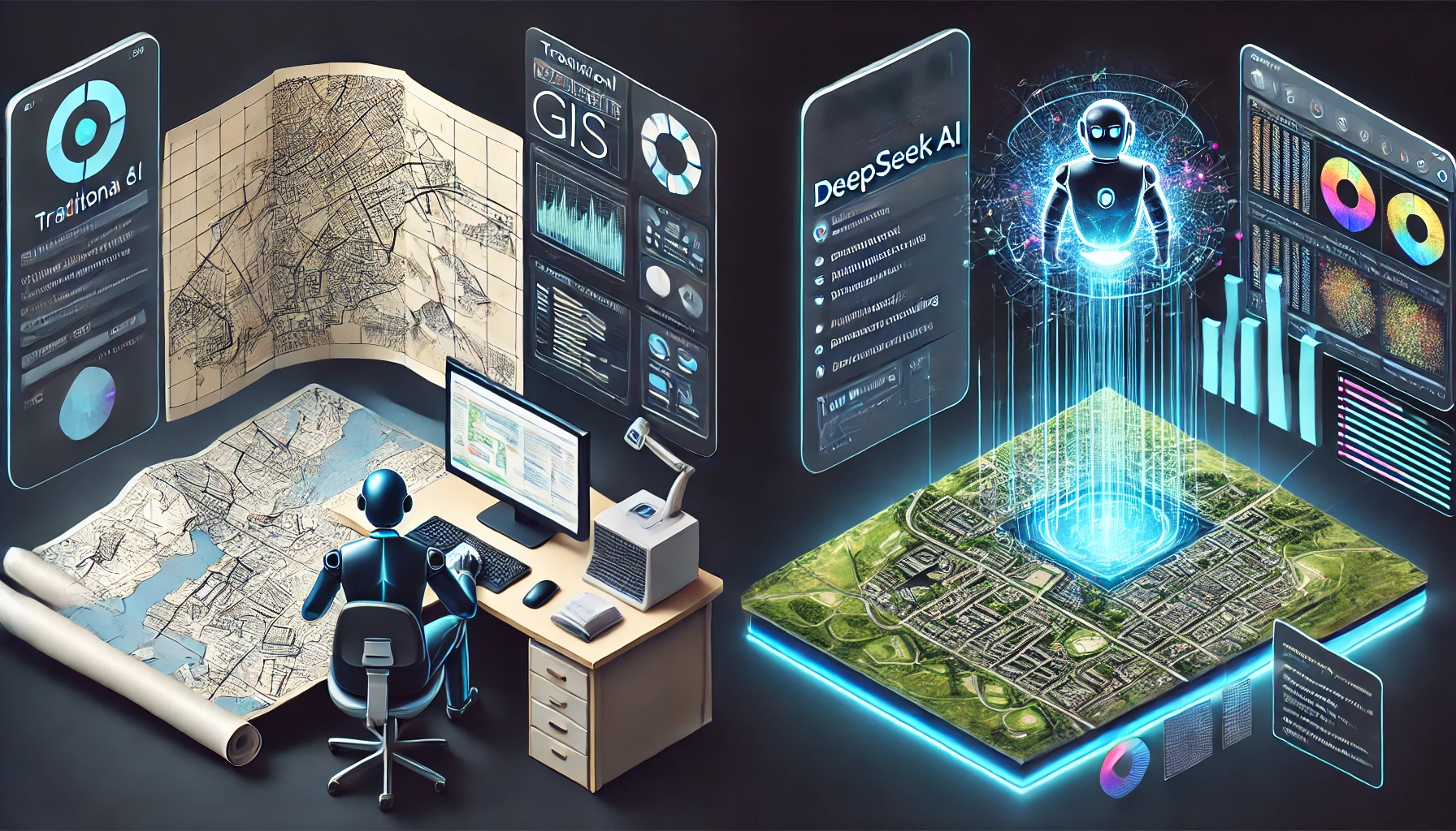
GeoAI: The New Era of Artificial Intelligence in Geography

GeoAI

Artificial intelligence is changing the way we analyze and understand our world. One of its most exciting applications is GeoAI, a combination of AI and geography that helps us interpret spatial data more efficiently. From urban planning to disaster management, GeoAI is transforming industries and improving decision-making processes. In this post, we’ll explore how GeoAI is reshaping geography and why it’s a game-changer for businesses and governments. What is GeoAI? GeoAI, or Geospatial Artificial Intelligence, is the use of AI and machine learning to analyze and process geospatial data. It combines satellite imagery, geographic information systems (GIS), remote sensing, and big data analytics to extract meaningful patterns from geographic data. With the increasing availability of high-resolution satellite imagery and IoT sensors, GeoAI is becoming more powerful. It enables automated mapping, location-based analytics, and real-time monitoring of geographic changes. Key Applications of GeoAI GeoAI is being applied across multiple sectors, helping industries leverage geographic data like never before. Here are some of its most impactful applications: 1. Urban Planning and Smart Cities GeoAI helps cities become smarter by optimizing infrastructure development, transportation, and energy distribution. By analyzing traffic patterns and land usage, city planners can make informed decisions to reduce congestion and improve sustainability. Example: AI-driven GIS models can predict urban expansion, helping governments plan better housing projects and public services. 2. Disaster Management and Climate Monitoring GeoAI plays a crucial role in predicting and managing natural disasters. It analyzes climate data to forecast hurricanes, floods, and wildfires, allowing authorities to respond proactively. Example: AI-powered satellite imagery detects early signs of wildfires, enabling quicker response times and minimizing damage. See Also: DeepSeek Vs ChatGPT: The AI Battle Begins 3. Precision Agriculture Farmers use GeoAI to monitor soil conditions, predict crop yields, and manage irrigation. By leveraging remote sensing and machine learning, agriculture becomes more data-driven and efficient. Example: AI algorithms analyze satellite images to detect pest infestations and recommend precise interventions, reducing crop losses. See Also: 10 Best Universities in the UK for International Students in 2025 4. Public Health and Epidemiology GeoAI helps track and predict the spread of diseases by analyzing location-based health data. This is especially useful in monitoring pandemics and optimizing healthcare services. Example: During COVID-19, AI-powered heat maps tracked virus outbreaks in real time, helping policymakers make informed decisions. 5. Environmental Protection and Conservation GeoAI supports environmental sustainability by monitoring deforestation, air pollution, and biodiversity changes. Conservationists use it to map endangered species’ habitats and combat illegal activities like poaching. Example: AI analyzes satellite images to detect deforestation in real time, alerting authorities to illegal logging activities. See Also: 10 Best Crop Analysis Software for 2025 The Future of GeoAI GeoAI is still evolving, but its potential is massive. Advances in deep learning, cloud computing, and geospatial analytics will make GeoAI even more powerful. Here are some key trends shaping its future: Real-time Geospatial Analytics: Faster processing speeds will enable real-time mapping and decision-making. Integration with IoT: Smart devices and sensors will provide even more accurate location-based insights. Ethical and Privacy Considerations: As geospatial AI becomes more sophisticated, addressing data privacy concerns will be essential. See Also: Astronomy MCQ Questions Free Practice Set-2 Conclusion GeoAI is revolutionizing how we interact with geographic data. From improving city planning to tackling climate change, its applications are limitless. Businesses, governments, and researchers are just beginning to unlock its potential. As AI technology advances, GeoAI will play an even bigger role in shaping the world around us. See Also: How to Use AI and ChatGPT in GIS Tasks in 2025

DeepSeek Empowers Top 10 Companies with Game-Changing Benefits

DeepSeek

In today’s fast-paced digital world, businesses are constantly seeking innovative solutions to stay ahead of the competition. DeepSeek, a cutting-edge AI-driven analytics and decision-making platform, is revolutionizing how companies optimize their operations, improve efficiency, and maximize profits. From automating processes to providing deep insights into customer behavior, DeepSeek has emerged as a game-changer for enterprises worldwide. In this blog post, we’ll explore how DeepSeek is empowering the top 10 companies with game-changing benefits, helping them achieve unparalleled success in their respective industries. Top 10 Companies with Game-Changing Benefits Using DeepSeek 1. Google: Enhancing Search Algorithms and Ad Targeting Google, the tech giant, leverages DeepSeek’s AI-driven analytics to refine its search algorithms, making search results more relevant and precise. Additionally, Google Ads benefits from DeepSeek’s data analysis capabilities, ensuring better targeting and higher conversion rates for advertisers. Benefits: Improved search relevance and ranking factors Enhanced ad targeting and higher ROI Predictive analytics for user behavior 2. Amazon: Optimizing E-Commerce and Supply Chain Efficiency Amazon uses DeepSeek to streamline its massive supply chain, ensuring seamless inventory management, demand forecasting, and personalized product recommendations. Benefits: Efficient inventory management and reduced operational costs Enhanced customer experience with personalized recommendations Faster and smarter logistics operations 3. Tesla: AI-Powered Autonomous Driving and Manufacturing Tesla incorporates DeepSeek’s advanced AI models to improve self-driving technology and optimize manufacturing processes, reducing waste and increasing efficiency. Benefits: Improved AI-driven autonomous vehicle performance Optimized energy efficiency in electric vehicles Predictive maintenance for car parts and battery performance See Also: DeepSeek Vs ChatGPT – The AI Battle Begins 4. Microsoft: Revolutionizing Cloud Computing and AI Services Microsoft utilizes DeepSeek to power its Azure AI services, enhancing cloud security, automation, and enterprise solutions. Benefits: Faster data processing and AI model deployment Strengthened cybersecurity measures with predictive analytics Improved cloud storage optimization for businesses 5. Apple: Enhancing User Experience and App Store Analytics Apple integrates DeepSeek to analyze user behavior, optimize App Store recommendations, and enhance Siri’s AI capabilities. Benefits: Smarter and more intuitive virtual assistant (Siri) Personalized App Store and Apple Music recommendations Improved security with AI-driven threat detection 6. Facebook (Meta): AI-Powered Social Media Insights Meta leverages DeepSeek’s data analytics to improve ad targeting, detect fake news, and enhance user engagement on platforms like Facebook, Instagram, and WhatsApp. Benefits: Advanced AI-driven content moderation More precise advertising and audience targeting Improved user experience and engagement See Also: DeepSeek – The AI Shaking Up The Tech World 7. Netflix: Revolutionizing Content Recommendations Netflix uses DeepSeek’s deep learning algorithms to analyze viewing habits and deliver highly accurate recommendations, ensuring users stay engaged for longer durations. Benefits: Enhanced content personalization Improved customer retention and reduced churn rate Optimized video streaming quality 8. IBM: Advancing AI-Powered Business Solutions IBM incorporates DeepSeek into Watson AI to drive business automation, improve customer support chatbots, and provide data-driven insights. Benefits: AI-powered chatbots for superior customer service Advanced cybersecurity solutions for enterprises Predictive analytics for business decision-making 9. Salesforce: AI-Driven CRM Enhancements Salesforce utilizes DeepSeek to enhance its CRM (Customer Relationship Management) tools, allowing businesses to better understand their clients and predict sales trends. Benefits: Improved lead generation and conversion rates AI-driven customer insights for better decision-making Enhanced sales forecasting accuracy 10. Spotify: Elevating Music Personalization with AI Spotify harnesses DeepSeek’s machine learning capabilities to refine its Discover Weekly playlists, ensuring that users receive highly personalized music recommendations. Benefits: Enhanced AI-powered song and playlist recommendations Improved user engagement and longer session durations Better ad targeting for free-tier users Conclusion DeepSeek is redefining how businesses leverage AI to optimize processes, improve customer experiences, and increase revenue. By integrating DeepSeek’s game-changing AI capabilities, these top 10 companies have set new benchmarks in their industries, staying ahead in the competitive landscape. As AI and machine learning continue to evolve, DeepSeek is poised to unlock even greater possibilities, making it an indispensable tool for businesses worldwide. Frequently Asked Questions (FAQ) 1. What is DeepSeek and how does it benefit businesses? DeepSeek is an AI-powered analytics and decision-making platform that helps businesses optimize operations, improve efficiency, and enhance customer experiences through data-driven insights and automation. 2. How does DeepSeek improve search algorithms for Google? DeepSeek refines Google’s search algorithms by analyzing user behavior and optimizing search ranking factors, leading to more relevant search results and better ad targeting. 3. How does DeepSeek help e-commerce companies like Amazon? DeepSeek enables Amazon to streamline its supply chain, improve demand forecasting, and provide personalized product recommendations, resulting in improved operational efficiency and customer satisfaction. 4. Can DeepSeek enhance customer experiences in the entertainment industry? Yes, companies like Netflix and Spotify use DeepSeek to personalize content recommendations, ensuring users receive highly relevant suggestions that enhance engagement and retention. 5. Is DeepSeek beneficial for cybersecurity and fraud detection? Yes, businesses like Microsoft and IBM leverage DeepSeek for advanced cybersecurity measures, predictive threat detection, and AI-powered automation to prevent fraud and secure sensitive data. 6. How does DeepSeek help with CRM and customer relationship management? Salesforce integrates DeepSeek to analyze customer data, predict sales trends, and enhance lead generation, improving overall customer relationship management. 7. What industries can benefit from DeepSeek? DeepSeek is beneficial across multiple industries, including tech, e-commerce, entertainment, social media, cloud computing, and cybersecurity, helping businesses improve decision-making and customer experiences.

Astronomy MCQ Questions Free Practice Set-2

Astronomy MCQ Questions

50+ Astronomy MCQ Qustions In this blog, we’ve curated 50+ thought-provoking multiple-choice questions covering both fundamental and advanced concepts of astronomy. ‘Astronomy MCQ Questions Free Practice Set-2 [Free PDF]’ is designed to help you build on your basics, challenge your knowledge further, and gain deeper insights into celestial mechanics, planetary science, and the mysteries of the universe. Whether you’re an astronomy student, space enthusiast, or a professional in the field, this quiz is an excellent way to expand your understanding of astronomy and its endless wonders. Let’s dive into the ‘Astronomy MCQ Questions Free Practice Set-2 [Free PDF]’ and continue our exploration of the cosmos! 1. What is one challenge associated with using sidereal time for civil time reckoning? A. Sidereal time is too complex for everyday use B. Sidereal time is not universally accepted C. Sidereal time is always shorter than solar time D. Sidereal time is not fixed in relation to the hours of light and darkness Answer D. Sidereal time is not fixed in relation to the hours of light and darkness 2. What is the difference between right ascension and declination? A. Right ascension is used for terrestrial coordinates, while declination is used for celestial coordinates B. Right ascension indicates the north-south position, while declination indicates the east-west position C. Right ascension is measured in degrees, while declination is measured in time units D. Right ascension is measured in time units, while declination is measured in degrees Answer D. Right ascension is measured in time units, while declination is measured in degrees 3. What is the relationship between mean solar time and apparent solar time? A. Mean solar time is always ahead of apparent solar time B. Apparent solar time is based on a constant speed of the sun C. Mean solar time is derived from lunar cycles D. Mean solar time accounts for variations in apparent solar time Answer D. Mean solar time accounts for variations in apparent solar time 4. What are Great Circles and how do they relate to spherical trigonometry? A. Great Circles are circles formed by planes containing the center of the sphere B. Great Circles are circles that do not intersect the center of the sphere C. Great Circles are irrelevant to spherical trigonometry D. Great Circles are the same as parallels of latitude Answer A. Great Circles are circles formed by planes containing the center of the sphere 5. What role do celestial bodies play in determining geographical positions? A. Celestial bodies help determine geographical positions through position circles B. Celestial bodies are used to measure distances between locations C. Celestial bodies influence weather patterns on Earth D. Celestial bodies provide timekeeping for navigation Answer A. Celestial bodies help determine geographical positions through position circles 6. What does the term “hour circle” refer to in celestial navigation? A. A circle that represents the path of the sun across the sky B. A circle that defines the equator on the celestial sphere C. A great circle passing through the celestial poles and a star D. A circle that indicates the position of stars at a specific time Answer C. A great circle passing through the celestial poles and a star 7. What is the Prime Meridian, and how is it defined? A. The Prime Meridian is the meridian that passes through Greenwich, defined as 0° longitude B. The Prime Meridian is the line that divides the Earth into northern and southern hemispheres C. The Prime Meridian is the line at 90° longitude D. The Prime Meridian is the equator Answer A. The Prime Meridian is the meridian that passes through Greenwich, defined as 0° longitude 8. What is the relationship between the geoid and the mathematical surface in surveys? A. The geoid is a perfect sphere used for all calculations B. The mathematical surface is always higher than the geoid C. The geoid serves as a reference for the mathematical surface in surveys D. The geoid is a flat surface used in engineering surveys Answer C. The geoid serves as a reference for the mathematical surface in surveys 9. What is the role of a gyro-theodolite in determining azimuth? A. To measure vertical angles for elevation changes B. To calculate distances between two points C. To provide a reference for magnetic north D. To provide precise measurements of horizontal angles for azimuth Answer D. To provide precise measurements of horizontal angles for azimuth 10. How does the orientation of a geodetic survey become uncertain as it progresses? A. The orientation becomes more accurate as the survey progresses B. The orientation remains constant throughout the survey C. The orientation becomes uncertain due to changes in local geography D. The orientation becomes increasingly uncertain due to accumulated observational errors Answer D. The orientation becomes increasingly uncertain due to accumulated observational errors 11. Which two surfaces are compared to assess discrepancies in geodetic measurements? A. Geoidal surface and ellipsoid B. Geoidal surface and mean sea level C. Topographical surface and geoidal surface D. Topographical surface and ellipsoid Answer A. Geoidal surface and ellipsoid 12. Which time system is based on the rotation of the Earth around its polar axis? A. Sidereal time B. Greenwich Mean Time C. Universal Time D. Solar time Answer A. Sidereal time 13. How is the local hour angle of a celestial body determined? A. By calculating the angle between the celestial body and the horizon B. By taking the difference between local sidereal time and right ascension C. By determining the angle from the celestial pole to the celestial body D. By measuring the angle from the zenith to the celestial body Answer B. By taking the difference between local sidereal time and right ascension 14. What is the relationship between the plumb line and the normal to the reference spheroid? A. The plumb line does not necessarily coincide with the normal to the reference spheroid B. The plumb line is determined by the reference spheroid only C. The plumb line and the normal to the reference spheroid coincide at all points D. The plumb line is always parallel to the normal to the reference spheroid Answer A. The plumb line does not necessarily coincide with the normal to the reference spheroid 15. What is the purpose of using field astronomy in surveying? A. To predict weather patterns B. To determine the position of points on the Earth and orientation C. To measure distances using celestial bodies D. To analyze … Read more

50+ Astronomy MCQ Questions With Explanation Set-1

Astronomy MCQ Questions

50+ Astronomy MCQ Questions In this blog, we’ve curated 50+ thought-provoking multiple-choice questions covering the fundamental and advanced concepts of astronomy. ‘Astronomy MCQ Questions With Explanation Set-1 [Free PDF]’ is designed to help you refresh your basics, challenge your knowledge, and gain practical insights into celestial mechanics, planetary science, and the mysteries of the universe. Whether you’re an astronomy student, space enthusiast, or a professional in the field, this quiz is the perfect way to enhance your understanding of astronomy and its vast wonders. Let’s dive into the ‘Astronomy MCQ Questions With Explanation Set-1 [Free PDF]’ and start exploring! 1. Which unit of measurement is commonly used to define the distance to stars based on parallax? A) Astronomical Unit (AU) B) Lightyear (ly) C) Parsec (pc) D) Kilometer (km) Correct Answer Correct Answer: Parsec (pc) Explanation: A parsec is the distance to a star whose parallax angle is one arcsecond. 2. What unit of distance is defined as the distance light travels in one year? A. Lightyear (ly) B. Astronomical Unit (AU) C. Parsec (pc) D. Lightsecond (ls) Correct Answer Correct Answer: Lightyear (ly) Explanation: A lightyear (ly) is defined as the distance light travels in a vacuum in one year, approximately 9.461 trillion kilometers. This unit is essential for measuring vast astronomical distances, making it easier to comprehend the scale of the universe. 3. Which historical figure is credited with re-inventing the heliocentric model of the Solar System? A. Ptolemy of Alexandria B. Nicolaus Copernicus C. Galileo Galilei D. Aristarchus of Samos Correct Answer Correct Answer: Nicolaus Copernicus Explanation: Nicolaus Copernicus is credited with re-inventing the heliocentric model, which posits that the Sun is at the center of the Solar System, with planets, including Earth, orbiting around it. This was a significant shift from the geocentric model that dominated prior thought. 4. What is the speed of light in a vacuum, expressed in meters per second? A. 300,000,000 m/s B. 150,000,000 m/s C. 3.0 * 10^8 m/s D. 299,792,458 m/s Correct Answer Correct Answer: D. 299,792,458 m/s Explanation: The speed of light in a vacuum is defined as 299,792,458 meters per second. This value is fundamental in physics, serving as a constant in equations and influencing our understanding of space, time, and the universe. 5. How do variable stars like RR Lyrae help astronomers determine distances? A. They help determine the temperature of distant stars B. They provide a direct measurement of distance through parallax C. They indicate the age of star clusters D. They serve as standard candles to calculate distances Correct Answer Correct Answer: D. They serve as standard candles to calculate distances Explanation: RR Lyrae stars have a known relationship between their luminosity and variability period, making them reliable standard candles. By comparing their intrinsic brightness to their observed brightness, astronomers can accurately calculate distances to these stars. 6. What is the relationship between Right Ascension and declination in celestial coordinates? A. Right Ascension measures distance from the Earth to stars B. Declination measures the brightness of stars C. Right Ascension and declination are both measured in degrees D. Right Ascension and declination together specify the location of celestial objects Correct Answer Correct Answer: D. Right Ascension and declination together specify the location of celestial objects Explanation: Right Ascension (RA) and declination (Dec) are the two coordinates in the celestial coordinate system, similar to longitude and latitude on Earth. Together, they pinpoint the exact location of celestial objects in the sky. 7. What is the main determinant of a star’s position and evolution on the Hertzsprung-Russell diagram? A. Its chemical composition B. Its distance from Earth C. Its initial mass D. Its surface temperature Correct Answer Correct Answer: C. Its initial mass Explanation: The initial mass of a star determines its lifecycle and position on the Hertzsprung-Russell diagram. 8. What is the Schwarzschild radius of a black hole? A. The radius of the event horizon B. The radius at which light cannot escape C. Both A and B D. None of the above Correct Answer Correct Answer: C. Both A and B Explanation: The Schwarzschild radius defines the boundary of a black hole, beyond which light cannot escape. 9. Which law relates the intensity of light to the distance from the source in three-dimensional space? A. Newton’s Law of Gravitation B. The Inverse Square Law C. Kepler’s Third Law D. Planck’s Radiation Law Correct Answer Correct Answer: B. The Inverse Square Law Explanation: The Inverse Square Law states that the intensity of light diminishes as the square of the distance. 10. Which form of electromagnetic radiation has the shortest wavelength and the highest energy? A. X-rays B. Gamma rays C. Ultraviolet rays D. Radio waves Correct Answer Correct Answer: B. Gamma rays Explanation: Gamma rays have the shortest wavelength and highest energy in the electromagnetic spectrum, produced by nuclear decays and high-energy processes in the universe. 11. What does the spectral class of a star primarily indicate? A. Its luminosity B. Its surface temperature C. Its distance from Earth D. Its size Correct Answer Correct Answer: B. Its surface temperature Explanation: The spectral class of a star is determined by its surface temperature, with classes ranging from O (hottest) to M (coolest). See Also: Geodesy MCQ Set-1 [Free PDF] Objective Questions 12. How is the distance to a star determined using its parallax angle? A. Multiply the parallax angle by 1 AU. B. Multiply the parallax angle by the speed of light. C. Divide 1 AU by the parallax angle in arcseconds. D. Use the Doppler effect to measure its recession velocity. Correct Answer Correct Answer: C. Divide 1 AU by the parallax angle in arcseconds. Explanation: The parallax method calculates the distance to stars using the formula d=1pd = frac{1}{p}d=p1​, where ddd is in parsecs and ppp is the parallax angle in arcseconds. 13. What physical phenomenon provides observational evidence for the presence of black holes in galaxies? A. Gravitational waves B. Redshifts of distant stars C. X-ray emissions from accretion disks D. Supernova explosions Correct Answer Correct Answer: C. X-ray emissions from accretion disks Explanation: Material falling into a black hole forms an accretion disk, … Read more

10 Best Crop Analysis Software for 2025

Crop Analysis Software

In modern farming, data-driven decisions are essential for increasing crop yield, minimizing losses, and improving overall farm productivity. This is where crop analysis software comes into play. These digital tools help farmers monitor crop health, predict yields, detect pests and diseases, and manage resources efficiently. To help farmers and agribusinesses make informed decisions, we’ve compiled a list of the 10 best crop analysis software for 2025. Let’s explore the features, benefits, and applications of each tool. Best Crop Analysis Software 1. Croptracker Best for: Fruit and vegetable growers Croptracker is a comprehensive farm management software designed specifically for fruit and vegetable growers. It provides solutions for: Image Credit: https://www.croptracker.com/ Record keeping: Helps maintain accurate records of farm activities. Labor and production costs: Tracks expenses to ensure cost-effective farming. Traceability: Ensures compliance with food safety regulations. In addition to these core features, Croptracker allows farmers to track pesticide and fertilizer applications, helping them stay compliant with agricultural standards. The platform also integrates seamlessly with mobile devices, enabling on-the-go data entry and real-time updates. For farms that export produce, Croptracker’s traceability feature is invaluable in meeting international standards and certifications. With detailed analytics and customizable reports, growers can gain insights into their operations and make informed decisions to boost profitability. 2. Bitwise Agronomy Best for: Visual crop analysis Bitwise Agronomy leverages advanced imaging technology to capture footage of crops and analyze: Image credit: https://bitwiseag.com/ Plant growth Ripeness levels Disease presence What sets Bitwise Agronomy apart is its ability to provide high-resolution images and video analytics. The software uses machine learning algorithms to identify early signs of disease or pests, enabling farmers to take preventive actions before the problem escalates. Additionally, Bitwise Agronomy supports integration with drones and other aerial imaging devices, making it ideal for large-scale farms. By providing actionable insights through visual data, farmers can optimize harvest timing, reduce waste, and improve overall crop quality. 3. Cropwise Best for: Satellite-based crop monitoring Cropwise is a digital platform that uses satellite imagery and data analytics to: Image credit: https://www.cropwise.com/ Monitor crop health Assess environmental conditions Optimize farming practices Cropwise offers a range of tools for remote sensing, allowing farmers to monitor vast agricultural lands without physically being present. The platform provides detailed vegetation indices, soil moisture levels, and weather forecasts, enabling precision farming. Cropwise’s user-friendly interface makes it easy for farmers to visualize data and make timely decisions. Moreover, the platform offers predictive analytics, helping farmers anticipate potential risks and mitigate them effectively. Whether you’re managing a single farm or multiple fields across regions, Cropwise is a powerful tool for remote farm management. See Also: How to Use AI and ChatGPT in GIS Tasks in 2025 4. AgrometShell Best for: Crop yield forecasting AgrometShell is specialized software designed for: Image Credit: https://www.fao.org/land-water/home/en/ Yield forecasting: Helps predict harvest outcomes based on weather and environmental data. AgrometShell uses advanced algorithms to analyze historical weather data, soil conditions, and crop growth patterns. This predictive approach allows farmers to plan better, allocate resources efficiently, and reduce post-harvest losses. Additionally, AgrometShell supports integration with meteorological data sources, providing real-time weather updates that can impact yield outcomes. Farmers can use the software to model different scenarios, helping them prepare for adverse conditions and ensure better risk management. GIS DICTIONARY Unlock the power of geographic knowledge with the GIS Dictionary, a comprehensive, easy-to-understand resource designed for students, professionals, and enthusiasts in the field of Geographic Information Systems (GIS). Whether you’re just beginning your GIS journey or you’re an experienced surveyor or cartographer, this dictionary is the perfect companion to help you grasp complex terms, acronyms, and concepts with ease. Key Features: ✅ Over 1,500 GIS Terms – Clear, concise definitions of essential GIS terminology.✅ Cross-References for Better Understanding – Easily connect related terms for deeper learning.✅ Illustrative Diagrams & Examples – Visual aids to help you comprehend difficult concepts quickly.✅ User-Friendly Format – Designed for quick lookup, making it a go-to tool for everyday GIS tasks.✅ Updated with the Latest Industry Trends – Stay current with evolving GIS technologies and methodologies. Who is it for? Students: Simplifies the learning process for those new to GIS. Professionals: A handy reference for surveyors, geographers, urban planners, and GIS analysts. Researchers: Enhances your work with accurate, up-to-date GIS vocabulary. Download 5. ASReml Best for: Statistical crop modeling ASReml is a powerful statistical software that uses Residual Maximum Likelihood (REML) for: Image Credit: https://vsni.co.uk/software/asreml-r/ Mixed model analysis Agronomic research ASReml is widely recognized in the research community for its robust data analysis capabilities. It supports a wide range of statistical models, including linear mixed models, which are essential for genetic and agronomic studies. Researchers can use ASReml to analyze complex datasets, conduct variance component estimation, and improve crop breeding programs. The software’s flexibility and precision make it a top choice for agricultural scientists and researchers aiming to enhance crop yield and resilience through data-driven insights. 6. Taranis Best for: AI-powered crop intelligence Taranis combines AI technology with expert agronomy to provide: Image Credit: https://www.taranis.com/ High-resolution aerial imagery Pest and disease detection Precision farming insights Taranis stands out for its ability to deliver ultra-high-resolution images at a rate of up to 0.3mm per pixel, capturing even the smallest details of crops. The software’s AI-driven analysis helps detect early-stage issues such as nutrient deficiencies, pest infestations, and fungal diseases. Farmers can use Taranis to plan targeted interventions, reducing the need for broad-spectrum pesticide applications. With its robust reporting tools, Taranis empowers farmers to improve yield, cut costs, and adopt sustainable farming practices. 7. Agremo Best for: Image data analysis Agremo uses artificial intelligence, machine learning, and computer vision to: Image Credit: https://www.agremo.com/ Identify patterns in image data Classify and quantify crop conditions Agremo’s unique selling point is its ability to analyze aerial imagery collected by drones or satellites and provide detailed reports on plant density, health, and stress levels. The platform offers customizable analysis options, enabling farmers to focus on specific areas of interest. Agremo also supports multi-crop analysis, making it suitable for diverse … Read more

How to Start a Profitable Side Hustle with Google Maps in 2025

Google Maps

What if I told you that you could start earning money in 2025 using nothing but Google Maps? No prior marketing experience, no coding skills, and no big upfront investment. All you need is a laptop and internet connection, and the best part—you can do this from anywhere in the world. In this guide, I’ll walk you step-by-step through one of the simplest and most overlooked business opportunities. Whether you’re a total beginner or someone looking for an easy side hustle, by the end of this post, you’ll have a clear roadmap on how to get started, find clients, and build recurring income. Why This Side Hustle Works Small local businesses, like plumbers, electricians, and massage therapists, heavily rely on phone calls to get new clients. But statistics show that 62% of calls to these businesses go unanswered. Why? Because they’re busy doing their jobs and don’t have time to answer every call or hire a receptionist. This is where you come in. By offering a simple call automation solution, you can help these businesses respond to missed calls via text message, keeping potential clients engaged and increasing their chances of landing deals. And yes, businesses are willing to pay for this because it directly helps them increase revenue. Step-by-Step Guide to Starting This Side Hustle With Google Maps Step 1: Find Local Businesses on Google Maps Open Google Maps and search for small businesses in your target niche and location. Example: Plumbers in Dallas, Texas. Look for businesses with phone numbers listed in their Google My Business (GMB) profiles. These businesses often spend money on ads and SEO but may be missing out on leads due to unanswered calls. Step 2: Offer an Automated Call-Back Solution You’ll be offering a service called Auto Missed Call Text-Back. Here’s how it works: When a potential customer calls a business and no one picks up, an automated text message is sent back instantly. The text message can say something like: “Hi, this is [Business Name]. Sorry, we missed your call. How can we help you?” This keeps the conversation going, increasing the chances of the customer doing business with them. Step 3: Set Up the Software for Your Clients This setup is incredibly simple and requires no technical skills: Sign up for a lead generation software that offers missed call text-back automation. Connect the business’s Google My Business listing to the software. Enable the Missed Call Text-Back feature in the settings. Customize the message if needed, and hit Save. That’s it! Once set up, the software runs on autopilot, and you don’t need to do any ongoing management. See Also: Top AI-Powered Tools for Geospatial Professionals in 2025 How Much Can You Earn? You can charge around $100 to $200 per month for this service. While it may not sound like much at first, here’s the potential: With just 10 clients paying $100/month, you can earn $1,000 per month in recurring income. Scale it up to 100 clients, and you’re making $10,000 per month with minimal effort. Remember, businesses are happy to pay this fee because even if they close a few extra deals each month, the ROI is huge. For example, if one new client is worth $500 to a business, saving just five deals per month can mean an additional $2,500 in revenue for them. Why Small Businesses Won’t Do This Themselves You might wonder, “If this is so simple, why don’t these businesses just set it up themselves?” The answer is simple—time. Small business owners are extremely busy managing day-to-day operations. Even if it’s as simple as clicking a few buttons, they’d rather pay someone to take care of it for them. This is why this side hustle is so powerful. You’re providing a done-for-you solution that saves them time and helps them make more money. How to Find Your First Clients (For Free) Here are a few strategies to get your first clients without spending a dime: Cold Calling: Reach out to businesses directly and explain how your service can help them. Email Outreach: Send a personalized email highlighting the benefits of your service. Networking: Connect with local business owners in your area and offer to set up a free trial. Social Media: Join local business groups on Facebook or LinkedIn and offer your services. Final Thoughts: Is This Side Hustle Worth It? Absolutely! With minimal setup, no tech skills required, and high demand from small businesses, this side hustle offers a great way to build passive monthly income. Plus, since the setup is simple, you can easily scale your business and add more clients without increasing your workload. If you’re ready to get started, follow the steps outlined above and take action today. Remember, the key to success is implementation. Even the best side hustle ideas won’t work unless you put them into practice. See Also: How to Use AI and ChatGPT in GIS Tasks in 2025 Bonus: Free Course and Extended Software Trial If you want more detailed guidance, templates, and scripts to help you get started, I’m offering a free step-by-step course. Plus, you’ll get an extended 30-day free trial to the lead generation software. Just drop a comment below or click the link to access everything for free. This side hustle is simple, scalable, and highly profitable. So, what are you waiting for? Start now, and build your path to financial freedom! FAQs Q1: How much time does it take to set up for a client? Around 5-10 minutes. Once set up, the software handles everything automatically. Q2: Do I need technical skills? No. This method requires no coding or marketing experience—just basic internet skills. Q3: Can I do this from any country? Yes. This side hustle works in any country, and you can even target businesses in other countries.

How to Use AI and ChatGPT in GIS Tasks in 2025

ChatGPT in GIS Tasks

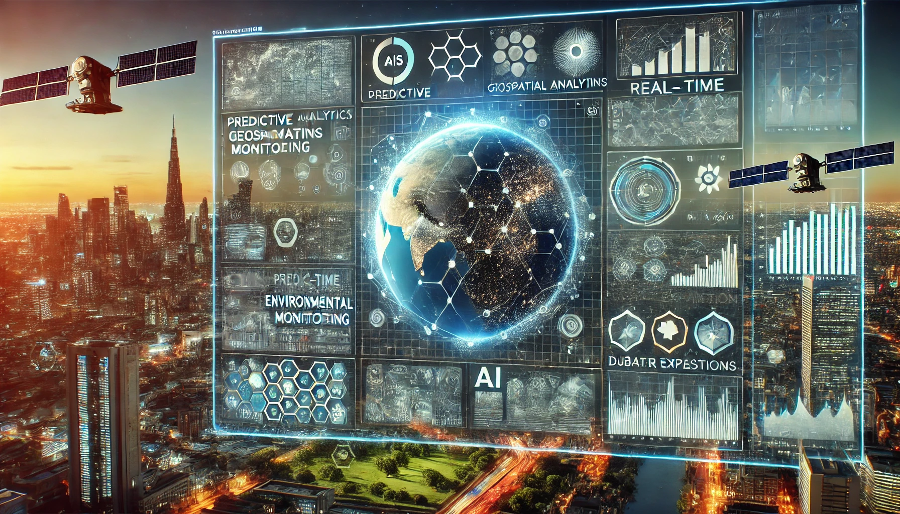
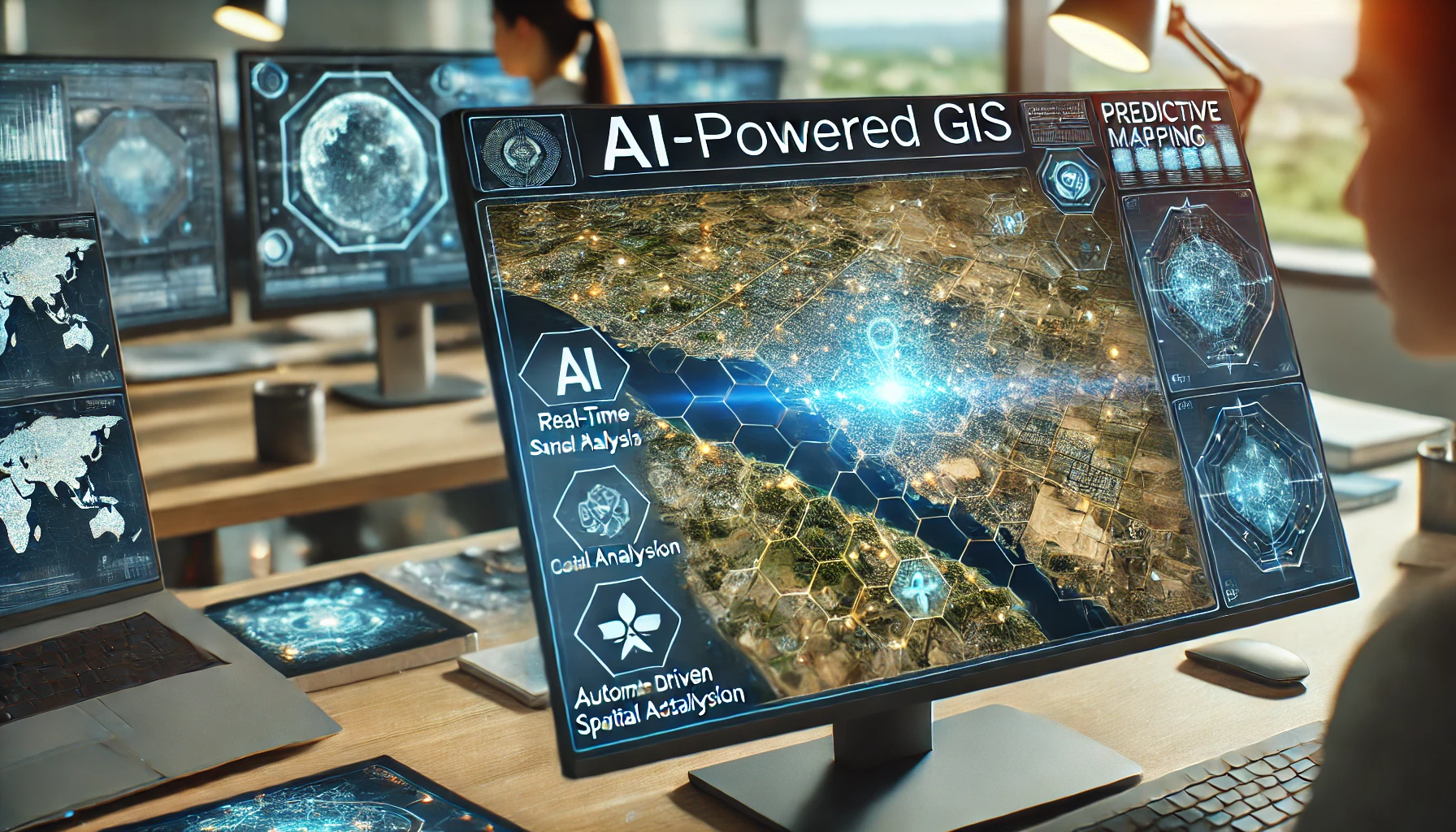
Geographic Information Systems (GIS) have transformed how we capture, analyze, and visualize spatial data. With the advent of Artificial Intelligence (AI) and tools like ChatGPT, GIS professionals can automate tasks, enhance data analysis, and improve decision-making processes. This guide explores how to effectively leverage AI and ChatGPT in GIS tasks, providing actionable insights for both beginners and experts. What is GIS? Before diving into AI applications, let’s briefly understand GIS. GIS is a system designed to capture, store, manipulate, analyze, manage, and present spatial or geographic data. It has applications in various fields, including urban planning, environmental management, transportation, and disaster response. Role of AI in GIS AI enhances GIS by automating repetitive tasks, improving data accuracy, and enabling predictive analysis. Some of the key AI technologies used in GIS include: Machine Learning (ML): Helps in pattern recognition, classification, and predictive modeling. Natural Language Processing (NLP): Facilitates interaction with GIS systems through human-like language. Computer Vision: Enables the extraction of features from satellite and aerial imagery. Read Also: Top 22 Remote Sensing Analyst Interview Questions and Answers How ChatGPT Enhances GIS Tasks ChatGPT, powered by OpenAI’s advanced language models, can assist GIS professionals in various tasks, such as: 1. Automating Data Queries GIS datasets often require complex queries for analysis. ChatGPT can help generate SQL queries, Python scripts, or R code to retrieve and manipulate spatial data efficiently. Example: Task: Extract all points within a specific polygon. ChatGPT Output: 2. Assisting with Spatial Analysis GIS involves various spatial analyses, such as buffering, overlay analysis, and proximity analysis. ChatGPT can guide users on the appropriate tools and methods for these analyses. Example: Task: How to perform a buffer analysis using QGIS? ChatGPT Output: “In QGIS, you can perform buffer analysis by using the ‘Buffer’ tool under the Vector menu. Select your input layer, specify the buffer distance, and run the tool.” GIS Dictionary Unlock the power of geographic knowledge with the GIS Dictionary, a comprehensive, easy-to-understand resource designed for students, professionals, and enthusiasts in the field of Geographic Information Systems (GIS). Whether you’re just beginning your GIS journey or you’re an experienced surveyor or cartographer, this dictionary is the perfect companion to help you grasp complex terms, acronyms, and concepts with ease. Key Features: ✅ Over 1,500 GIS Terms – Clear, concise definitions of essential GIS terminology. ✅ Cross-References for Better Understanding – Easily connect related terms for deeper learning. ✅ Illustrative Diagrams & Examples – Visual aids to help you comprehend difficult concepts quickly. ✅ User-Friendly Format – Designed for quick lookup, making it a go-to tool for everyday GIS tasks. ✅ Updated with the Latest Industry Trends – Stay current with evolving GIS technologies and methodologies. Who is it for? Students: Simplifies the learning process for those new to GIS. Professionals: A handy reference for surveyors, geographers, urban planners, and GIS analysts. Researchers: Enhances your work with accurate, up-to-date GIS vocabulary. Download 3. Streamlining Data Visualization Creating effective maps and visualizations is a key GIS task. ChatGPT can suggest best practices for cartographic design, such as choosing appropriate color schemes and symbology. Example: Task: How to choose a color scheme for a population density map? ChatGPT Output: “For population density maps, use a sequential color scheme with shades transitioning from light to dark. Lighter shades can represent lower densities, while darker shades indicate higher densities.” 4. Enhancing Documentation and Reporting GIS projects often require detailed documentation and reports. ChatGPT can assist in generating well-structured reports, technical documentation, and even metadata for GIS layers. Example: Task: Generate metadata for a land use layer. ChatGPT Output: “Layer Name: Land Use Classification Projection: WGS 84 (EPSG: 4326) Description: This layer represents different land use types in the study area, including residential, commercial, agricultural, and industrial zones.” Read Also: Top 15 GIS Specialist Interview Questions and Answers 5. Providing Code Snippets for GIS Development For GIS developers, ChatGPT can generate code snippets for automating tasks using Python libraries like Geopandas, GDAL, and Shapely. Example: Task: Clip a shapefile using Python. ChatGPT Output: Benefits of Using AI and ChatGPT in GIS Increased Efficiency: Automates repetitive tasks, saving time and effort. Improved Accuracy: Reduces human error in data analysis and processing. Enhanced Learning: Provides on-the-spot guidance and explanations. Cost-Effective Solutions: Reduces the need for extensive training and external consultancy. Scalability: Enables handling of large datasets and complex operations. Benefits of Using AI and ChatGPT in GIS While AI and ChatGPT offer numerous advantages, there are also some limitations: Data Quality: AI models are only as good as the data they are trained on. Interpretation Issues: ChatGPT might sometimes provide incorrect or overly simplified answers. Integration Complexity: Integrating AI tools with existing GIS systems may require technical expertise. Future of AI in GIS The future of AI in GIS looks promising, with advancements in: Real-Time Spatial Analysis: AI-powered tools will enable real-time decision-making in critical scenarios. Predictive Modeling: Enhanced predictive models for urban growth, environmental changes, and disaster management. Interactive GIS Systems: NLP-powered GIS systems that allow users to interact through voice or text commands. Read Also: Top 15 Drone Operator and Analyst Interview Questions and Answers How to Get Started with AI and ChatGPT in GIS Learn the Basics: Familiarize yourself with GIS concepts and tools. Explore AI Tools: Start experimenting with AI-powered GIS tools like ArcGIS Pro with AI extensions. Use ChatGPT for Support: Leverage ChatGPT for coding assistance, spatial analysis guidance, and documentation. Join Communities: Participate in GIS and AI forums to stay updated on the latest trends. Conclusion AI and ChatGPT are transforming the GIS landscape by automating tasks, improving accuracy, and enabling better decision-making. By understanding how to integrate these tools into your workflow, you can enhance your productivity and stay ahead in the field of geospatial technology. Start exploring the potential of AI and ChatGPT in GIS today! Frequently Asked Questions (FAQs) Q1: Can ChatGPT replace GIS experts? A: No, ChatGPT is a supportive tool that enhances the capabilities of GIS experts but cannot replace their domain knowledge and … Read more

Free Practice Quiz SET for NEC (Nepal Engineering Council) License Exam of 2081-09-29

NEC

Are you ready for the upcoming NEC (Nepal Engineering Council) License Exam for Geomatics Engineers scheduled on 2081-09-29? This is your last chance to test your preparation and boost your confidence before appearing for the big day! We have created a Free Practice Quiz Set specially designed for Geomatics Engineers. This quiz covers important topics you are likely to encounter in the exam. Whether it’s land measurement systems, surveying tools, GIS concepts, or engineering principles, this quiz will help you evaluate your knowledge level effectively. What’s Inside? Carefully curated questions that match the pattern of NEC License Exams. A focus on key areas relevant to Geomatics Engineering, including: Traditional land measurement systems used in Nepal (like Ropani, Katha, etc.). Surveying and mapping techniques. GIS (Geographic Information System) fundamentals. Practical problem-solving questions to improve your accuracy. Real-time feedback on your answers to help you understand your strengths and weaknesses. Why Take This Quiz? Assess your readiness: This quiz is designed to give you a real feel of the exam and help you figure out where you stand. Identify areas for improvement: Get a clear idea of which topics you need to revise before the exam. Boost your confidence: Solving this quiz will reduce your exam-day anxiety and help you feel more prepared. Final Words For NEC Examiner  Best of luck for tomorrow’s exam! Give it your best shot and don’t forget to take this final quiz to check your level. Whether you are feeling nervous or confident, this practice quiz will be a great way to calm your nerves and ensure you are fully ready. This quiz is brought to you by The GIS Journal, your trusted platform for Geomatics Engineering resources, blogs, and learning tools. We’re here to support you in every step of your journey toward becoming a licensed engineer. Take the quiz now, test your skills, and walk into the exam hall tomorrow with confidence!

Geodesy MCQ Set-1 [Free PDF] Objective Questions

Geodesy MCQ

50+ MCQs on Geodesy In this blog, we’ve curated 50+ thought-provoking multiple-choice questions covering the fundamental and advanced concepts of geodesy. ‘Geodesy MCQ Set-1 [Free PDF] Objective Questions’ is designed to help you refresh your basics, challenge your knowledge, and gain practical insights into the science of Earth’s shape, size, and gravitational field. Whether you’re a geodesy enthusiast, a GIS student, or a professional in the field, this quiz is the perfect way to enhance your expertise and understanding of geodetic principles. Let’s dive into the ‘Geodesy MCQ Set-1 [Free PDF] Objective Questions’ and start exploring! 1. What does GDBMS stand for in the context of data management? A. General Database Management System B. Geographic Data Backup Management System C. Geographic Database Management System D. Global Data Base Management System Answer C. Geographic Database Management System 2. What type of survey was conducted by the Survey Department in collaboration with the National Space Institute of Denmark? A. Ground-based Gravity Survey B. Satellite Gravity Survey C. Hydrographic Survey D. Airborne Gravity Survey Answer D. Airborne Gravity Survey 3. What is the purpose of the GPS Control Point Network established in Nepal? A. To monitor weather patterns across the country B. To provide internet connectivity in remote areas C. To enhance tourism by mapping historical sites D. To provide precise coordinates for mapping Answer D. To provide precise coordinates for mapping 4. Which method is used for leveling in the Levelling Section? A. Differential Levelling Method B. Barometric Levelling Method C. Spirit Levelling Method D. GPS Levelling Method Answer C. Spirit Levelling Method 5. What is the primary purpose of the Geodetic Survey Branch? A. To conduct environmental impact assessments for land use B. To manage land ownership disputes and cadastral mapping C. To conduct systematic mapping and establish control points D. To provide training and education in surveying techniques Answer C. To conduct systematic mapping and establish control points 6. Which branch was established for controlled cadastral mapping? A. Cadastral Survey Branch B. Topographical Survey Branch C. Trigonometrical Survey Branch D. Geodetic Survey Branch Answer C. Trigonometrical Survey Branch 7. What technology is used for the re-observation of First Order Points? A. GPS B. Doppler Positioning technique C. Traditional methods (Triangulation, Traverse, Trilateration) D. GDBMS (data entry into digital form) Answer A. GPS 8. What year was the Survey Department established in Nepal? A. 1957 AD B. 1950 AD C. 1955 AD D. 1960 AD Answer A. 1957 AD 9. What does the Gravity Section aim to determine regarding the value of acceleration due to gravity (g)? A. To determine variations in acceleration due to gravity (g) B. To measure temperature variations across regions C. To determine geological composition of the crust D. To assess gravity’s impact on local wildlife Answer A. To determine variations in acceleration due to gravity (g) 10. What is the role of the Doppler Positioning technique in mapping? A. To convert analog data into digital format for mapping purposes B. To establish a network of control points for triangulation C. To enhance the accuracy of positioning data D. To assist in the re-observation of existing mapping points Answer C. To enhance the accuracy of positioning data 11. What is the role of Nagarkot Observatory in geodetic research activities? A. It serves as a tourist attraction for astronomical observations B. It provides educational programs for local schools about astronomy C. It focuses solely on meteorological data collection and analysis D. It collects and processes GPS data for geodetic research Answer D. It collects and processes GPS data for geodetic research See Also: Land Administration MCQ Set-2 [Free PDF] Objective Questions 12. What activities are included in the establishment and maintenance of the level network along national highways? A. Establishment and maintenance of Bench Marks B. Maintenance of GPS tracking stations and revenue generation from processed data C. Regular observation for research activities on archaeological sites and infrastructure D. Establishment of control points and data archiving for cadastral mapping Answer A. Establishment and maintenance of Bench Marks 13. What is the main focus of the Astronomical Survey Section at Nagarkot? A. Determining the position of stars using telescopes B. Geodetic research and data acquisition C. Revenue generation through GPS data processing D. Establishing a reference station for GPS users Answer B. Geodetic research and data acquisition 14. What equipment was used during the Airborne Gravity Survey? A. Beechcraft 200 B. LaCoste & Romberg gravimeter S-38 C. Bell 206 helicopter D. Cessna 172 aircraft Answer A. Beechcraft 200 15. What is the significance of the Bench Mark (BM) at Birgunj in Nepal? A. The BM at Birgunj is a fundamental point for leveling in Nepal. B. The BM at Birgunj is utilized for urban planning and development projects. C. The BM at Birgunj is primarily used for geological surveys in Nepal. D. The BM at Birgunj serves as a reference for agricultural land measurements. Answer A. The BM at Birgunj is a fundamental point for leveling in Nepal. 16. What is the relationship between the undulated terrain of Nepal and the variations in gravity measurements? A. The terrain has no effect on gravity measurements. B. Gravity measurements are uniform across all regions of Nepal. C. Variations in gravity are solely due to atmospheric conditions. D. The undulated terrain causes variations in gravity measurements. Answer D. The undulated terrain causes variations in gravity measurements. See Also: Land Administration MCQ Set-1 [Free PDF] Objective Questions 17.What is the reference spheroid used in Nepal’s geodetic system? A. WGS 84 (World Geodetic System 1984) B. GRS 80 (Geodetic Reference System 1980) C. Clarke 1866 (an older reference spheroid) D. Everest (1830) Answer D. Everest (1830) 18. What is the expected outcome of determining the geoid model for Nepal? A. Improved mapping of geological features in Nepal B. Enhanced prediction of weather patterns in the region C. Development of new transportation routes based on gravity data D. Improved accuracy in height measurements Answer D. Improved accuracy in height measurements 19. How many satellites are currently in operation within the GPS constellation? A. 20 satellites B. 25 satellites C. 24 satellites D. 30 satellites Answer C. 24 satellites 20. What is the primary function of the Global Positioning System (GPS)? A. To determine precise positions B. To track wildlife migration patterns C. To facilitate communication between devices D. To provide weather forecasts and updates Answer A. To determine precise positions 21. What is the primary purpose of using carrier phase observations in GPS? A. To achieve high precision in relative positioning B. To reduce the time required for GPS signal acquisition … Read more

Land Administration MCQ Set-2 [Free PDF] Objective Questions

Land Administration MCQ

45+ Land Administration MCQ Set-2 In this blog, we’ve curated 45+ thought-provoking multiple-choice questions covering the fundamental and advanced concepts of land administration. ‘Land Administration MCQ Set-2 [Free PDF] Objective Questions’ is designed to help you refresh your basics, challenge your knowledge, and gain practical insights into property management, governance, and land records. Whether you’re a student, a professional in land management, or preparing for exams, this quiz is the perfect way to enhance your expertise in land administration and development. Let’s dive into the ‘Land Administration MCQ Set-2 [Free PDF] Objective Questions’ and start exploring! 1. What does compulsory purchase refer to in the context of land acquisition? A. Expropriation of land for public benefit B. Land consolidation involving ownership adjustments C. Leasing land from private owners for government use D. Voluntary purchase of land by individuals Answer A. Expropriation of land for public benefit 2. Which form of decentralization redistributes decision-making authority among different levels of central government? A. Delegation to semi-autonomous organizations B. Centralization of decision-making authority C. Deconcentration D. Devolution to local governments Answer C. Deconcentration 3. What is the significance of the Local Self Governance Act in Nepal? A. It promotes local governance and citizen participation. B. It focuses solely on urban development without addressing rural needs. C. It centralizes power in the federal government, limiting local autonomy. D. It restricts citizen participation in local decision-making processes. Answer A. It promotes local governance and citizen participation. 4. What does devolution in local governance typically involve? A. Assignment of tasks to local governments without elected officials B. Creation of public enterprises controlled by the central government C. Redistribution of decision-making authority among central government levels D. Transfer of authority to local governments with independent decision-making Answer D. Transfer of authority to local governments with independent decision-making 5. Which term describes the process that allows stakeholders and communities to participate in decision-making? A. Community engagement B. Public participation C. Stakeholder consultation D. Collaborative governance Answer B. Public participation 6. What type of disputes are included under land conflict resolution? A. Environmental disputes B. Boundary, land, and ownership disputes C. Commercial disputes D. Labor disputes Answer B. Boundary, land, and ownership disputes 7. What is a Public-Private Partnership (PPP)? A. A framework for public sector projects without private investment B. A government initiative that excludes private sector involvement C. An agreement between public and private sectors to achieve specific goals D. A contract solely between private companies to maximize profits Answer C. An agreement between public and private sectors to achieve specific goals 8. What is one consequence of weak governance in land administration? A. Insecurity of tenure B. Reduced private sector investment C. Social and political instability D. Land conflicts Answer A. Insecurity of tenure 9. What global drivers are changing land administration systems? A. Sustainable development, globalization, urbanization, economic reform, and technology B. Political instability and conflict C. Population growth and migration patterns D. Climate change and environmental degradation Answer A. Sustainable development, globalization, urbanization, economic reform, and technology 10. In which system is the deed itself registered as evidence of a transaction? A. Transaction Evidence System B. Property Transfer System C. Deed Registration System D. Title Registration System Answer C. Deed Registration System 11. What does the title registration system primarily authenticate? A. The authenticity of property deeds B. The historical transactions related to property C. The verification of property boundaries D. Ownership of a parcel of land Answer D. Ownership of a parcel of land See Also: Land Administration MCQ Set-1 [Free PDF] Objective Questions 12. What type of land registration involves informal transactions without written evidence? A. Deed Registration B. Title Registration C. Private Conveyancing D. Informal Conveyancing Answer D. Informal Conveyancing 13. Which principle states that a change in real rights on immovable property must be registered to be legally effective? A. Consent Principle (requires consent for changes) B. Principle of Publicity (ensures public access to registers) C. Principle of Speciality (identifies subjects and objects) D. Booking principle Answer D. Booking principle 14. How does the improved deed registration system enhance reliability? A. It assures accurate registered information B. It allows for faster processing of property transactions C. It provides a comprehensive history of property ownership D. It reduces the cost of property transactions significantly Answer A. It assures accurate registered information 15. What is the main difference between a positive and a negative registration system? A. A positive system guarantees titles, while a negative system does not. B. A positive system is less complex than a negative system. C. A positive system requires more investigation than a negative system. D. A positive system records transactions, while a negative system guarantees ownership. Answer A. A positive system guarantees titles, while a negative system does not. 16. What is one advantage of the title registration system compared to the deed registration system? A. It provides a more detailed description of the property involved B. It provides sure evidence of ownership C. It requires less skilled personnel to operate effectively D. It allows for quicker recording of documents at a lower cost Answer B. It provides sure evidence of ownership 17. What are the two main types of conveyancing mentioned? A. Title Registration and Deed Registration B. Informal Conveyancing and Title Registration C. Informal Conveyancing and Private Conveyancing D. Private Conveyancing and Title Registration Answer C. Informal Conveyancing and Private Conveyancing 18. What is the first step in the land and property right transfer process? A. Contracting for deed preparation B. Pre-contracting to clarify terms C. Registration of ownership changes D. Marketing for buyers and sellers Answer D. Marketing for buyers and sellers 19. What is the role of the land registry in resolving land disputes? A. To provide documentary evidence required for resolving land disputes B. To provide land information for public functions like land use planning C. To regulate the transfer of property rights and ownership D. To document mortgage information and related interests in land Answer A. To provide documentary evidence required for resolving land disputes See Also: Cadastral Surveying MCQ Set-3 [Free PDF] Objective Questions 20. How many phases were involved in the nationwide Land Reform program carried out in 2021? A. Two phases B. Four phases C. Three phases D. Five phases Answer C. Three phases 21. What type of document is typically required for land registration in Nepal? A. Joint application of the vendor and buyer B. Receipt of land revenue of the current year C. Original land ownership certificate D. Citizenship of vendor and buyer Answer C. Original land ownership certificate 22. What is a significant risk associated with private conveyancing? … Read more