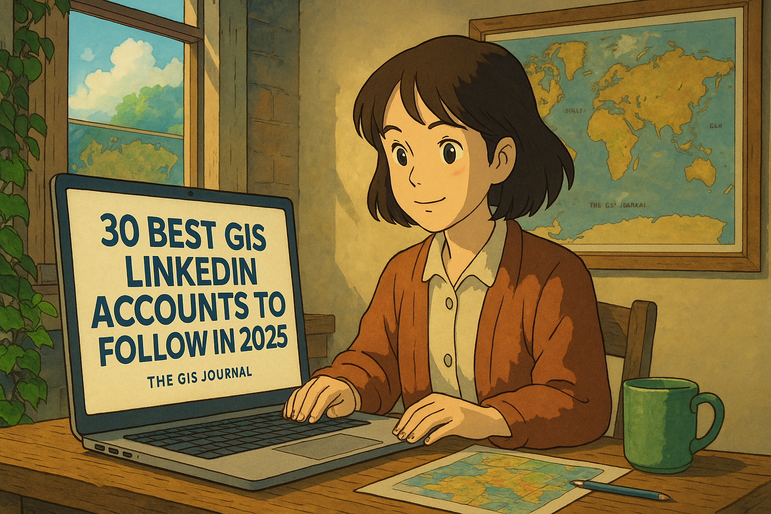
Are you a GIS (Geographic Information Systems) professional or student looking to grow your career in 2025? One of the best ways to stay updated with industry trends, tools, and opportunities is by following the right people on LinkedIn. We’ve compiled a list of the top 30 GIS LinkedIn accounts you should follow this year. These individuals and organizations consistently share valuable content that can help you learn, grow, and succeed in the geospatial world.
Why Follow GIS Experts on LinkedIn?
LinkedIn isn’t just for job hunting. It’s a powerful platform where GIS professionals share:
-
Tutorials and how-tos on GIS tools like QGIS, ArcGIS, and Google Earth Engine
-
Real-world case studies and mapping projects
-
Career advice and job postings
-
Industry news, trends, and technology updates
-
Insights into remote sensing, cartography, spatial analysis, and more
If you’re serious about leveling up your GIS career, these profiles are must-follows!
30 GIS LinkedIn Accounts You Should Follow
Here’s the full list of top GIS influencers and accounts worth adding to your LinkedIn feed:
1. Milos Popovic, PhD
If you’re passionate about cartography and beautiful data storytelling, Milos Popovic, PhD is a must-follow on LinkedIn. He’s a geospatial data scientist and mapping expert known for his stunning map visualizations that go far beyond the traditional GIS aesthetic. His work often combines social, economic, and historical datasets to produce rich, engaging narratives through maps.

Milos champions the use of open-source tools like QGIS, R, and Python, making geospatial data accessible and powerful for both beginners and experts. He frequently posts thought-provoking visualizations, insightful articles, and tutorials that demonstrate how to turn raw data into impactful stories. Whether you’re into thematic mapping, spatial data science, or just appreciate the art of maps, his content is both inspiring and educational.
👉 Follow Milos Popovic to enhance your visual storytelling skills and stay connected to the evolving world of open-source GIS in 2025.
2. Qiusheng Wu
Qiusheng Wu is a highly respected figure in the GIS and remote sensing community, especially known for his expertise in Google Earth Engine (GEE), Python scripting, and geospatial analytics. As an associate professor and creator of several open-source geospatial tools, Qiusheng is passionate about empowering GIS professionals and researchers with powerful and accessible geospatial workflows.
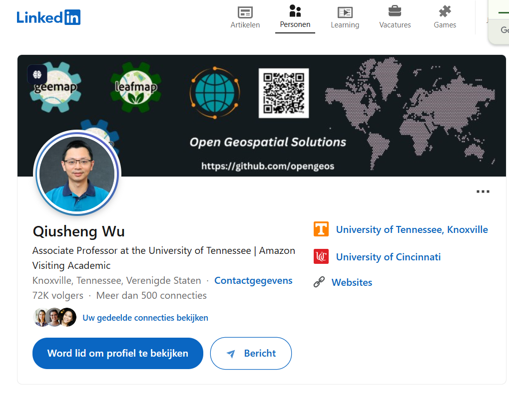
On LinkedIn, he regularly shares high-value content including tutorials, code snippets, YouTube videos, and updates on tools like geemap, leafmap, and other Python-based libraries for Earth observation. His teaching style is clear, practical, and beginner-friendly—making complex topics like remote sensing and big geospatial data processing easy to grasp.
For anyone looking to level up their skills in automation, cloud-based geospatial computing, and open-source GIS, following Qiusheng Wu is a game-changer.
👉 Follow Qiusheng Wu for hands-on geospatial learning, Python tricks, and the latest in Google Earth Engine.
3. Matt Forrest
Matt Forrest is a leading voice in the geospatial community, blending his deep expertise in GIS, data science, and spatial analysis to provide valuable insights on the future of geospatial tech. With a career rooted in innovative spatial problem-solving, Matt consistently shares thoughtful content that bridges the gap between geospatial theory and real-world application.
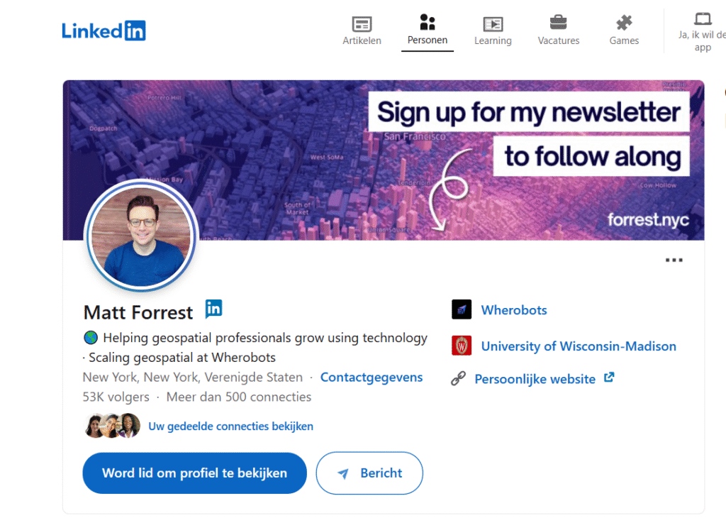
On LinkedIn, Matt posts about cutting-edge technologies like AI-driven mapping, data engineering in GIS, spatial databases, and the evolving role of location intelligence in business and society. His posts often highlight practical applications of spatial thinking—helping professionals understand not just how GIS works, but why it matters.
Whether you’re a GIS analyst, data scientist, or simply passionate about spatial innovation, Matt’s content offers a unique perspective on how location data is transforming industries.
👉 Follow Matt Forrest to explore the intersection of geospatial thinking, advanced analytics, and modern tech solutions.
4. John Nelson
John Nelson is widely recognized as a true cartography wizard and a passionate advocate for creative GIS mapping. As a key figure at Esri, John is known for pushing the boundaries of what’s possible in map design, regularly transforming complex geospatial data into visually stunning, story-driven maps.
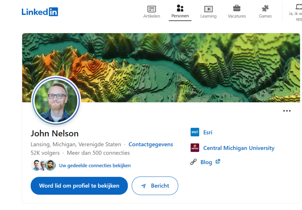
On LinkedIn, John shares hands-on tutorials, map-making techniques, and inspirational cartographic experiments using ArcGIS Pro and other Esri tools. His approachable, design-first mindset encourages GIS professionals to think beyond basic mapping and to craft maps that communicate, inspire, and engage. From terrain shading tricks to historical map recreations, his content is both educational and fun to explore.
If you’re looking to upgrade your cartographic skills and develop an artistic edge in your GIS projects, following John Nelson will spark endless creativity.
👉 Follow John Nelson for innovative map ideas, Esri-based tips, and a fresh take on visual storytelling in GIS.
Related Content:
12 Best Business Ideas for GIS Users in 2025
Top 16 FREE Sources of GIS Vector Data (Updated 2025)
25 Best QGIS Plugins Every QGIS User Must Know
8 GIS Services That Make You Rich in 2025
5. Milan Janosov
Milan Janosov is a rising thought leader at the intersection of GIS, data science, and urban analytics. With a background in network science and urban data, Milan’s work explores how spatial data can reveal patterns in human behavior, city dynamics, and social systems. His passion lies in turning raw location data into actionable insights that help make cities smarter and more sustainable.

On LinkedIn, Milan frequently shares research-backed posts, data visualizations, and real-world projects that leverage geospatial tools to analyze topics like mobility, population distribution, urban growth, and infrastructure planning. His content is especially valuable for those interested in smart cities, urban data science, and the future of location-based intelligence.
👉 Follow Milan Janosov to dive into cutting-edge GIS applications in urban environments and learn how spatial thinking shapes modern cities.
6. Brendan Ashworth
Brendan Ashworth is a leading geospatial innovator who consistently shares insights on GIS development, spatial data engineering, and the latest in geospatial technology. With a strong focus on coding, automation, and tech-forward GIS solutions, Brendan’s content is especially valuable for developers, analysts, and GIS professionals who want to stay ahead of the curve.
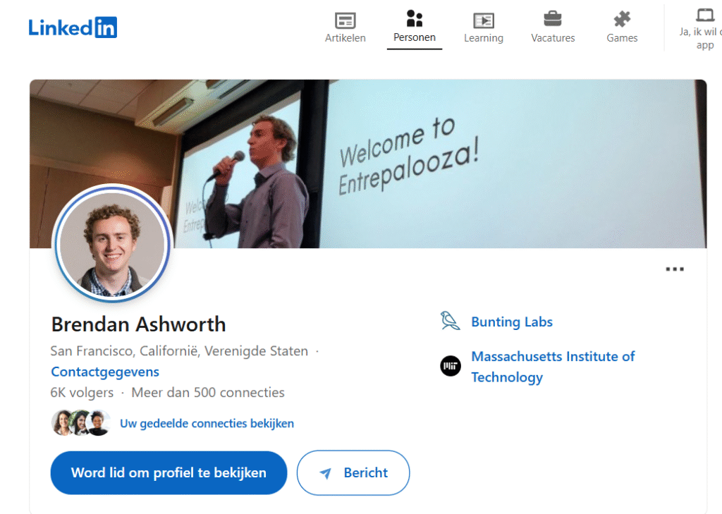
On LinkedIn, he dives into topics like web mapping, cloud-native GIS, APIs, and open-source geospatial frameworks, making complex technical ideas accessible and actionable. His posts often include real-world applications, tool recommendations, and updates from the bleeding edge of GIS innovation.
Whether you’re building your first GIS web app or looking to scale enterprise geospatial solutions, Brendan is a must-follow for practical knowledge and forward-thinking perspectives.
👉 Follow Brendan Ashworth to explore the fast-paced world of GIS development and future-ready mapping technologies.
7. Amirhossein Ahrari
Amirhossein Ahrari is a geospatial expert known for blending Earth observation with the power of machine learning to uncover patterns in our planet’s surface like never before. His work focuses on applying advanced data science techniques to remote sensing data, helping solve real-world problems related to the environment, urban growth, agriculture, and more.
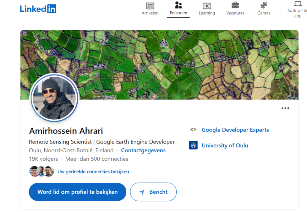
On LinkedIn, Amirhossein shares practical use cases, modeling techniques, and tutorials that merge GIS, remote sensing, and AI. Whether it’s using Google Earth Engine, Python, or deep learning models for land cover classification or environmental monitoring, his content is both technical and highly relevant for today’s data-driven geospatial landscape.
👉 Follow Amirhossein Ahrari to stay updated on the latest in Earth observation, geospatial AI, and cutting-edge GIS research.
8. Hans van der Kwast
Hans van der Kwast is a prominent voice in the GIS community, widely recognized for his dedication to open-source geospatial tools and water-related GIS applications. With a background in hydrology and environmental science, Hans promotes sustainable and accessible GIS solutions, empowering professionals across the globe to use tools like QGIS, GRASS GIS, and WhiteboxTools.

Through his engaging LinkedIn content, Hans shares tutorials, workshops, and real-world case studies that highlight how geospatial technology can be used for water resource management, flood modeling, climate adaptation, and beyond. His passion for open education and community-driven innovation makes him a go-to expert for those interested in using GIS for environmental and humanitarian impact.
👉 Follow Hans van der Kwast to explore powerful open-source GIS workflows and stay inspired by sustainable geospatial practices.
9. Arkadiusz Szadkowski
Arkadiusz Szadkowski is a rising star in the GIS world, known for his high-quality content on GIS programming, automation, and custom tool development. With a strong foundation in coding and spatial analysis, Arkadiusz shares practical insights that help GIS professionals level up their technical skills and streamline workflows.
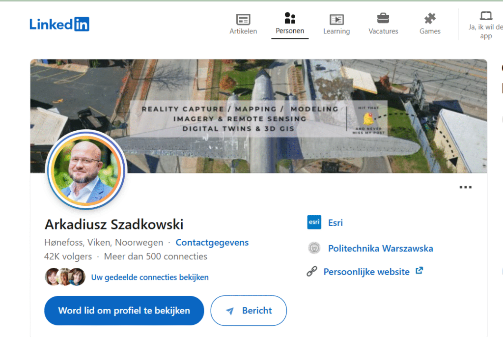
On LinkedIn, he regularly posts about Python scripting, ArcGIS Pro SDK, model builder tips, and the development of custom geospatial tools to solve real-world problems efficiently. Whether you’re a beginner exploring GIS automation or an advanced user building tailored solutions, Arkadiusz’s content is a goldmine for hands-on learning.
👉 Follow Arkadiusz Szadkowski to stay ahead in GIS development and discover innovative tools that enhance your geospatial projects.
10. Lukumon Lateef
Lukumon Lateef stands out as a passionate mentor and motivator in the GIS community, focusing on career development, skill-building, and professional growth in the geospatial industry. With years of experience in GIS and remote sensing, Lukumon combines technical know-how with a deep understanding of what it takes to succeed in a competitive field.

On LinkedIn, he regularly shares valuable content on GIS career advice, job opportunities, certification guidance, and inspirational posts that encourage young professionals and students to pursue rewarding paths in geospatial science. His mission is to help others unlock their potential and navigate the many roles GIS has to offer.
👉 Follow Lukumon Lateef for actionable insights, motivation, and mentorship to accelerate your GIS career journey.
11. Karolina Lehotska
Karolina Lehotska is a dedicated educator and GIS professional, widely appreciated for her approachable GIS tutorials, insightful tech updates, and commitment to making geospatial learning accessible to all. Her teaching style bridges the gap between theory and real-world application, helping learners at all levels build confidence with GIS tools and concepts.
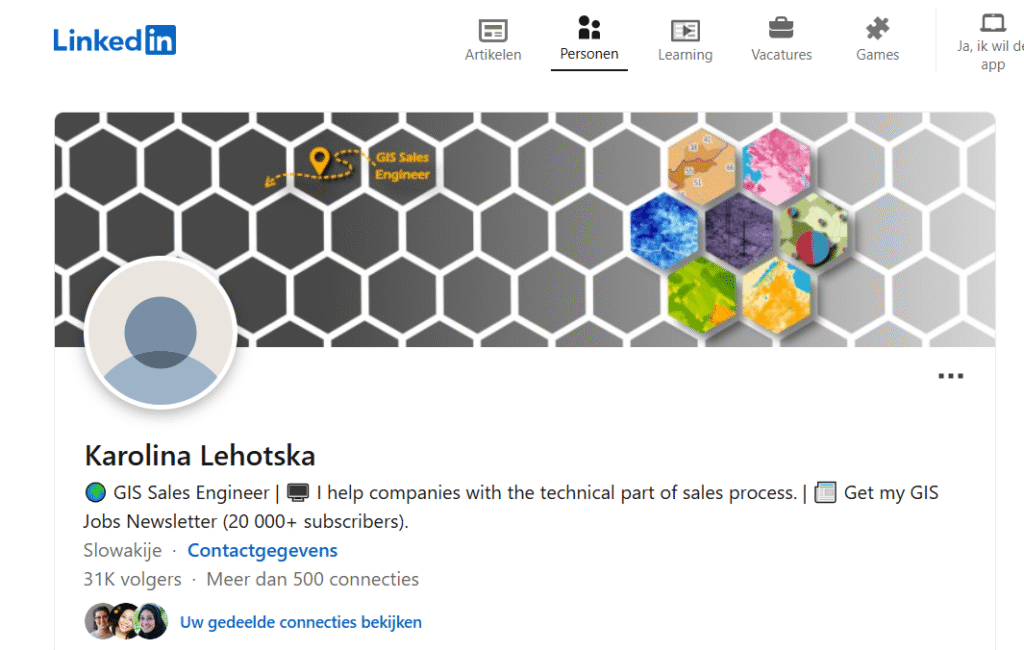
On LinkedIn, Karolina shares easy-to-follow guides, how-to videos, and updates on the latest GIS technologies, including platforms like QGIS, ArcGIS, and web mapping tools. Whether you’re a student, educator, or self-taught enthusiast, her content makes complex geospatial topics simple and engaging.
👉 Follow Karolina Lehotska to stay informed, inspired, and continuously learning in the dynamic world of geospatial technology.
12. S. Hassan Alavi
S. Hassan Alavi is a distinguished expert in spatial statistics and environmental GIS applications, bringing data-driven precision to the study of our planet. With a strong academic and practical background, Hassan’s work focuses on analyzing spatial patterns, modeling environmental processes, and supporting decision-making through advanced geospatial analytics.
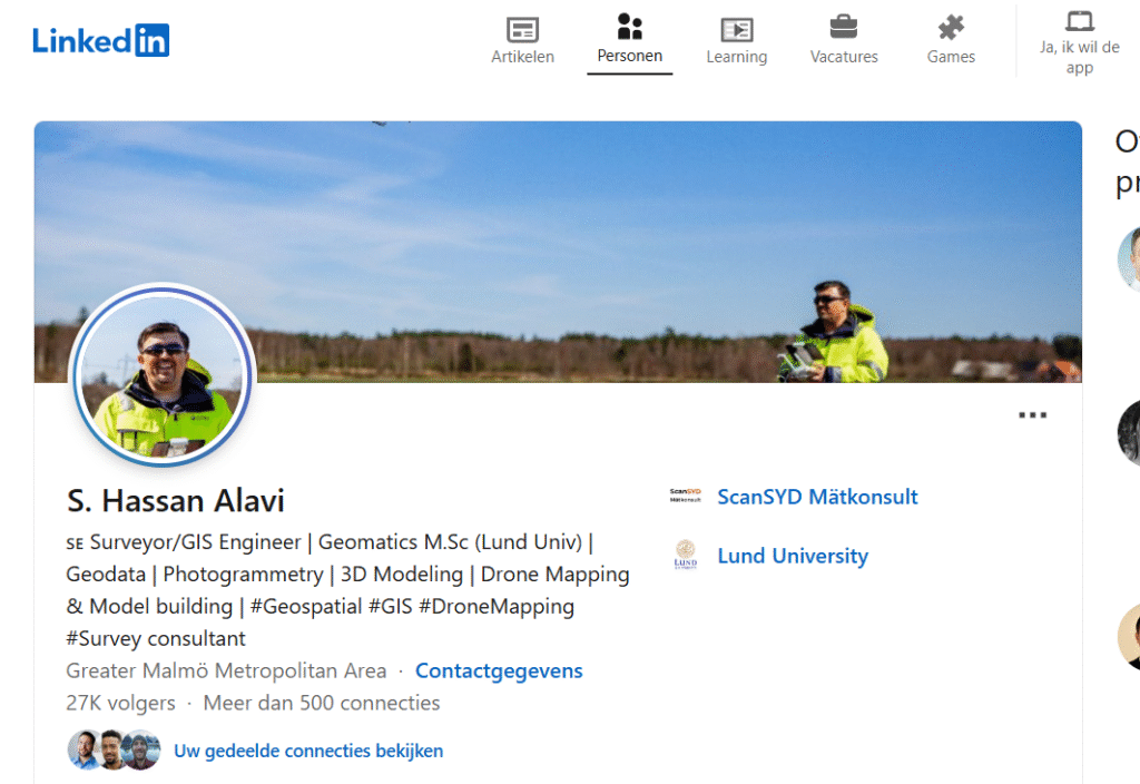
On LinkedIn, he shares thought-provoking content on statistical modeling, geospatial research, and GIS applications in climate, ecology, and sustainability. His posts often explore how spatial data can inform better policies and scientific understanding, making him a must-follow for professionals in environmental science, urban planning, and public health.
👉 Follow S. Hassan Alavi to dive deep into the intersection of spatial data, statistics, and environmental intelligence.
13. Christian Lutz
Christian Lutz is a dynamic GIS professional known for pushing boundaries with innovative geospatial projects and cutting-edge spatial modeling techniques. His work combines creativity with analytical rigor, making him a standout voice in the field of modern GIS.
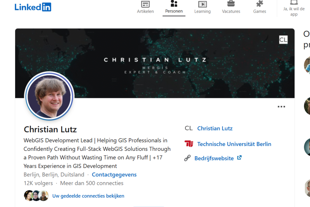
On LinkedIn, Christian regularly shares his experiences with complex geospatial workflows, data-driven modeling, and forward-thinking applications in urban planning, environmental monitoring, and transportation systems. Whether he’s exploring new spatial algorithms or visualizing large datasets in meaningful ways, his content is both technical and deeply practical.
👉 Follow Christian Lutz to stay inspired by impactful GIS projects and advanced spatial thinking that shape smarter, data-informed solutions.
14. Anita Graser
Anita Graser is a globally respected figure in the geospatial community, widely recognized for her pioneering work in open-source GIS and contributions to the QGIS project. As a core developer and plugin creator, Anita has helped shape how thousands of users interact with spatial data through powerful, accessible tools.
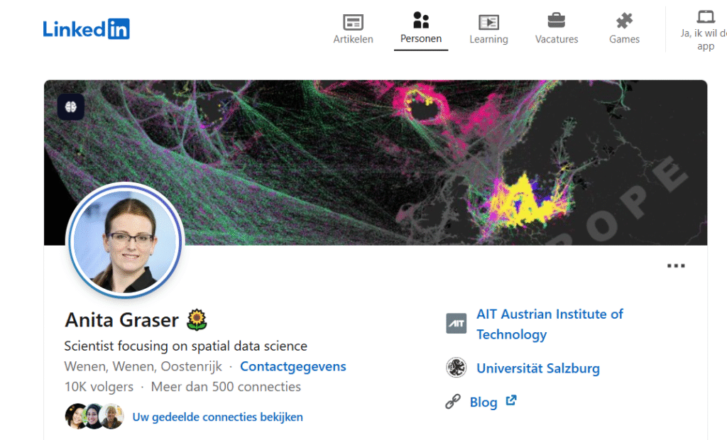
Her LinkedIn presence is a hub of knowledge, where she shares updates on QGIS advancements, plugin development tips, and insightful commentary on spatial analysis, visualization, and mobility research. Whether you’re a developer, GIS analyst, or researcher, Anita’s expertise is invaluable for mastering the open-source ecosystem.
👉 Follow Anita Graser to keep up with the future of open-source GIS and sharpen your QGIS skills with insights from one of the best in the field.
15. Esri
Esri is the powerhouse behind some of the most widely used geospatial tools in the world, including ArcGIS, and it continues to set the standard for innovation in the GIS industry. As the leading provider of GIS software, content, and training, Esri empowers professionals across sectors—from urban planning to environmental science—to turn spatial data into powerful insights.
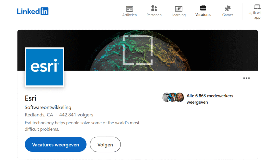
On LinkedIn, Esri consistently shares a wealth of resources including product updates, industry use cases, free learning events, career opportunities, and inspirational success stories from the global GIS community. Whether you’re just starting out or advancing your career, Esri is an essential connection for staying ahead in the geospatial field.
👉 Follow Esri to access cutting-edge tools, learning resources, and the latest developments shaping the future of GIS.
16. Ehasan Khankeshizadeh
Ehasan Khankeshizadeh is a prominent figure in the GIS community, known for his expertise in advanced GIS analysis and innovative project ideas. With a passion for leveraging geospatial technology to solve complex problems, Ehasan shares insights that push the boundaries of traditional GIS applications. His work spans across various industries, offering valuable solutions for spatial data analysis, mapping, and visualization.
On LinkedIn, Ehasan regularly shares cutting-edge GIS methodologies, real-world project examples, and tips for mastering advanced GIS techniques. Whether you’re looking to enhance your GIS skills or explore new project possibilities, Ehasan is an invaluable resource for professionals eager to expand their knowledge and stay at the forefront of geospatial advancements.
👉 Follow Ehasan Khankeshizadeh for expert analysis, project ideas, and the latest trends in GIS innovation.
17. Spatial Thoughts
Spatial Thoughts is a leading educational platform dedicated to providing hands-on geospatial training. With a focus on practical learning, it equips individuals with the skills needed to master GIS tools and techniques in real-world applications. Whether you’re a beginner or an experienced professional, Spatial Thoughts offers a wide range of courses that cover everything from basic GIS concepts to advanced spatial analysis and data visualization.
On LinkedIn, Spatial Thoughts shares valuable resources such as training updates, expert tips, industry trends, and success stories from learners who have enhanced their geospatial expertise. If you’re looking to advance your GIS career or deepen your knowledge, Spatial Thoughts is the perfect place to start your journey.
👉 Follow Spatial Thoughts for top-notch geospatial training, industry insights, and the latest developments in the field.
18. Matthias Staengel
Matthias Staengel is a skilled geospatial developer who regularly shares valuable tech tips and tutorials to help professionals navigate the ever-evolving world of geospatial technology. With a deep understanding of GIS development, Matthias provides insights into coding, software integration, and best practices for geospatial projects. His content is designed to enhance the skills of both beginners and experienced developers.
On LinkedIn, Matthias shares step-by-step guides, coding tricks, and the latest advancements in geospatial technology. His posts cover a wide range of topics, including web mapping, spatial data analysis, and GIS application development, making it easier for developers to stay ahead in the field.
👉 Follow Matthias Staengel for expert tech tips, tutorials, and the latest trends in geospatial development.
19. Michael Egan
Michael Egan is a trusted expert in the GIS field, known for sharing practical GIS skills and career insights. With years of experience in geospatial technology, Michael provides actionable advice and tips that help professionals enhance their GIS proficiency and navigate their career paths. His content covers a wide range of topics, from mastering GIS software to understanding industry trends and career opportunities.
On LinkedIn, Michael regularly posts valuable resources, including hands-on tutorials, career guidance, and success stories from GIS professionals. Whether you’re looking to upskill in GIS or take your career to the next level, Michael is an essential follow for anyone passionate about geospatial technology.
👉 Follow Michael Egan for expert GIS skills, career advice, and the latest insights in the geospatial field.
20. Geographic Information System (GIS)
The Geographic Information System (GIS) account is a go-to resource for anyone interested in geospatial technology. Dedicated to sharing general GIS knowledge, this account provides a wealth of resources to help professionals and enthusiasts understand the power of GIS. From educational articles and industry news to tutorials and case studies, GIS covers all things spatial.
On LinkedIn, GIS regularly posts updates on software tools, best practices, GIS career opportunities, and success stories from the global geospatial community. Whether you’re new to GIS or an experienced professional, this account offers valuable insights to help you stay informed and improve your skills.
👉 Follow GIS for the latest resources, industry trends, and essential knowledge to boost your geospatial expertise.
21. Greg Cocks
Greg Cocks is a respected geospatial expert, recognized for his practical approach to GIS and spatial technology. Through his insightful posts and tutorials, Greg makes complex geospatial concepts easy to understand and apply. His content is designed to help professionals at all levels enhance their technical skills and tackle real-world GIS challenges.
On LinkedIn, Greg shares hands-on tutorials, tips, and tricks that cover everything from GIS software to advanced spatial analysis techniques. His posts are packed with actionable advice that empowers GIS users to solve problems and improve their workflow.
👉 Follow Greg Cocks for practical GIS insights, tutorials, and tips that will elevate your geospatial expertise.
22. Saber Razmjooei
Saber Razmjooei is a passionate developer and strong advocate for open GIS technologies. With a focus on promoting open-source geospatial tools and frameworks, Saber actively contributes to the growth and development of the open GIS community. His work empowers professionals and organizations to harness the power of open-source solutions for geospatial data analysis and mapping.

On LinkedIn, Saber shares insights on open GIS technologies, development tips, and practical applications of open-source tools. His posts encourage collaboration, knowledge-sharing, and the advancement of GIS solutions that are accessible to all.
👉 Follow Saber Razmjooei for valuable tips on open GIS development, advocacy, and the latest trends in open-source geospatial technology.
23. Felt
Felt is an innovative platform that is transforming the way we collaborate on mapping and spatial storytelling. By combining intuitive tools with powerful mapping features, Felt enables users to create, share, and explore maps that tell compelling stories. It empowers professionals, educators, and creatives to visualize spatial data in new and engaging ways.
On LinkedIn, Felt shares updates on platform features, success stories, and tips on how to use mapping for collaboration and storytelling. Whether you’re working on a project or telling a geographical story, Felt is the perfect tool to bring your spatial ideas to life.
👉 Follow Felt for the latest developments in collaborative mapping, spatial storytelling, and how to use the platform for your creative and professional projects.
24. Lina Maria Gonzalez Bernal
Lina Maria Gonzalez Bernal is a distinguished expert who combines academic rigor with practical GIS experience. With a deep understanding of both the theoretical and real-world applications of geospatial technology, Lina offers unique insights that help professionals connect GIS concepts to everyday practice. Her approach makes complex GIS topics accessible and applicable across various industries.
On LinkedIn, Lina shares a blend of academic research, industry trends, practical GIS tips, and case studies, offering valuable content for both students and professionals. Whether you’re looking to deepen your academic understanding or apply GIS in real-world scenarios, Lina is an essential resource.
👉 Follow Lina Maria Gonzalez Bernal for a balanced perspective on GIS, from academic foundations to practical applications in the field.
25. Lucas Barreira
Lucas Barreira is a dedicated advocate for GIS innovation and public education. With a passion for making geospatial technology accessible to all, Lucas works to bridge the gap between GIS advancements and public understanding. His focus is on empowering communities, educators, and organizations to harness the power of GIS for societal impact.
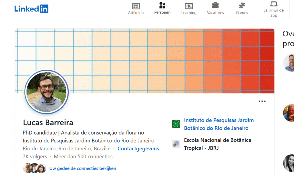
On LinkedIn, Lucas shares innovative GIS ideas, educational resources, and community-focused initiatives that highlight the potential of geospatial tools in public education and service. His posts inspire others to explore how GIS can be used to address real-world challenges.
👉 Follow Lucas Barreira for insights on GIS innovation, public education, and how geospatial technology can drive positive change in communities.
26. Jamie Christensen
Jamie Christensen is a talented GIS professional known for sharing creative maps and engaging GIS teaching materials. With a passion for visual storytelling and education, Jamie creates maps that are both informative and visually appealing, making GIS concepts easier to understand and apply. His content is designed to inspire both learners and educators in the geospatial field.

On LinkedIn, Jamie regularly posts innovative maps, tutorials, and teaching resources that help GIS professionals and students enhance their skills. Whether you’re looking to improve your mapping techniques or find new teaching methods, Jamie’s posts offer valuable insights and inspiration.
👉 Follow Jamie Christensen for creative mapping ideas, GIS teaching resources, and inspiration for your own geospatial projects.
27. Spiros Staridas
Spiros Staridas is a prominent expert in geospatial analytics and Earth observation, known for his in-depth knowledge and innovative approach to spatial data analysis. With a strong focus on utilizing satellite imagery and geospatial technologies, Spiros explores how these tools can be used to monitor and analyze Earth’s systems, from environmental changes to urban development.
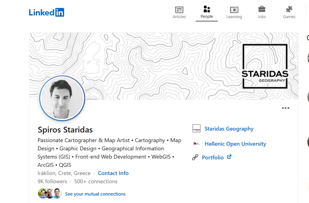
On LinkedIn, Spiros shares insights on the latest trends in Earth observation, geospatial analytics techniques, and case studies that showcase the power of spatial data. His posts provide valuable knowledge for professionals interested in applying geospatial technologies to real-world challenges.
👉 Follow Spiros Staridas for cutting-edge insights on geospatial analytics, Earth observation, and how these technologies are shaping the future of spatial analysis.
28. Md. Touhidur Rahman
Md. Touhidur Rahman is a dedicated GIS expert known for inspiring the GIS community through his insightful tutorials and practical tools. With a focus on empowering both beginners and experienced professionals, Touhidur shares valuable resources that help users enhance their GIS skills and solve real-world spatial problems.

On LinkedIn, Touhidur regularly posts detailed tutorials, tips, and recommended tools that help GIS users optimize their workflows and tackle complex spatial challenges. His content is a great resource for anyone looking to deepen their understanding of GIS technology and stay up-to-date with the latest advancements in the field.
👉 Follow Md. Touhidur Rahman for expert GIS tutorials, tools, and inspiration to advance your geospatial career.
29. Vikas Ghadamode
Dr. Vikas Ghadamode is a distinguished GIS professional and educator based in Nagpur, India. With over eight years of experience in remote sensing and GIS, he has significantly contributed to making spatial data more accessible through his work at the Geotech GIS Training Institute & Consultancy Services.
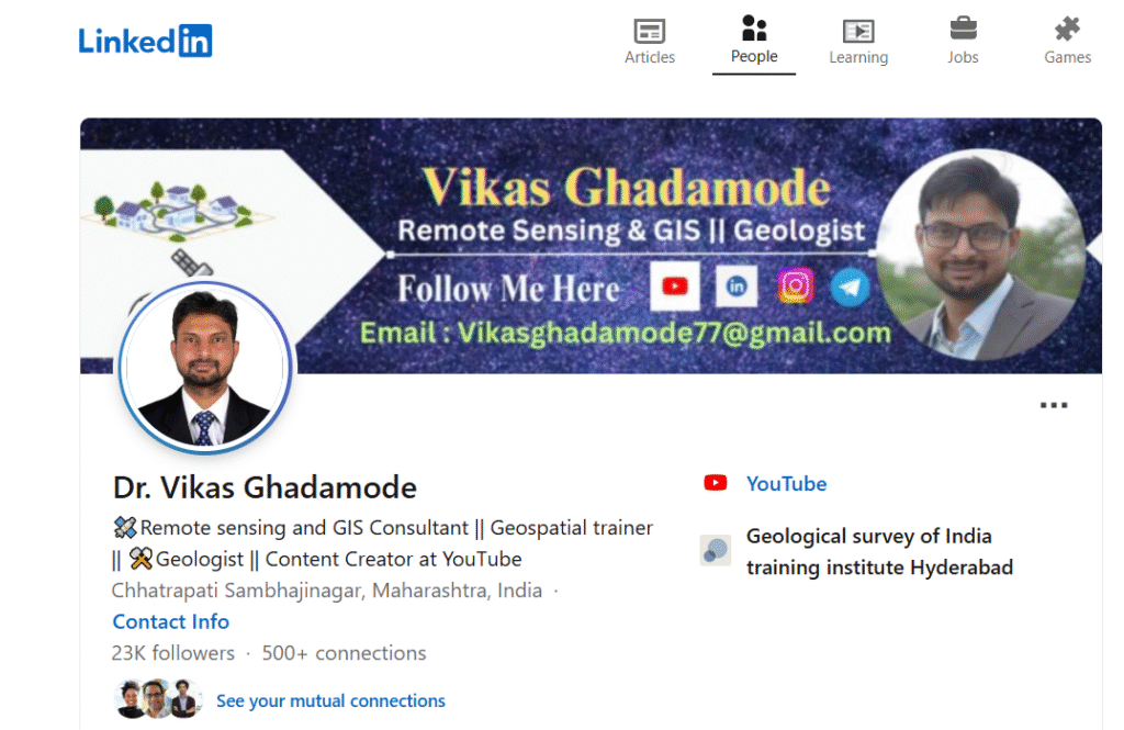
Dr. Ghadamode is a passionate advocate for open-source GIS tools like QGIS, aiming to democratize spatial analysis and mapping. He regularly shares beginner-friendly tutorials, spatial analysis techniques, and GIS best practices on his YouTube channel. His content covers topics such as digitization, supervised classification, and 3D mapping, providing practical insights for learners and professionals alike.
👉 Follow Dr. Vikas Ghadamode for:
-
Practical GIS tutorials: Learn through step-by-step guides on tools like ArcGIS and QGIS.
-
Spatial analysis techniques: Explore methods for effective data interpretation and decision-making.
-
GIS career insights: Gain advice on advancing your career in the geospatial industry.
30. Desmond Lartey
Desmond Lartey is a passionate GIS evangelist dedicated to making geospatial technology more accessible and understandable. As a GeoAI and Sense-Making professional, he actively engages with the GIS community by sharing practical advice, tutorials, and insights on the latest industry trends.
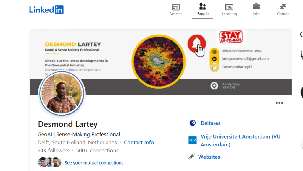
What Desmond Offers:
-
Practical GIS Tips: Desmond provides actionable advice on topics like data organization, SQL joins, and effective use of grids in spatial analysis. For instance, he emphasizes the importance of proper GIS project organization to improve efficiency and prevent data loss.
-
Educational Resources: He curates and shares free GIS courses with certificates, covering areas such as spatial database management, QGIS for precision agriculture, and coordinate reference systems.
-
Career Guidance: Desmond offers advice for GIS students and early-career professionals, encouraging continuous learning and skill development in programming languages like Python, SQL, and JavaScript to stay competitive in the evolving GIS field.
👉 Follow Desmond Lartey for regular updates on GIS best practices, career advice, and the latest trends shaping the geospatial industry.
Final Thoughts
Whether you’re a beginner in GIS or a seasoned expert, following these LinkedIn accounts can give you a serious advantage. From innovative mapping techniques to valuable career advice and GIS job alerts, these professionals are leading the charge in 2025.
📌 Frequently Asked Questions (FAQ)
1. What are the best GIS LinkedIn accounts to follow in 2025?
Some of the best GIS LinkedIn accounts to follow in 2025 include Milos Popovic, Qiusheng Wu, Matt Forest, John Nelson, and Anita Graser. These experts consistently share high-quality GIS content, tutorials, career tips, and industry trends.
2. Why should I follow GIS professionals on LinkedIn?
Following GIS professionals on LinkedIn helps you stay updated with the latest tools, mapping techniques, job opportunities, and innovations in the geospatial industry. It’s also a great way to network and grow your GIS career.
3. How can I grow my GIS career using LinkedIn?
You can grow your GIS career by connecting with top GIS influencers, engaging with their posts, sharing your own GIS projects, joining geospatial groups, and staying active in conversations about new technologies and trends.
4. Is LinkedIn useful for GIS students and beginners?
Yes, LinkedIn is extremely useful for GIS students and beginners. It provides learning resources, mentorship opportunities, free tutorials, and access to professionals who can guide you on the right career path.
5. Which GIS LinkedIn accounts share free tutorials and resources?
Accounts like Qiusheng Wu, Hans van der Kwast, Spatial Thoughts, and Anita Graser often share free GIS tutorials, QGIS training materials, Python code snippets, and other open-source resources.
6. What kind of content do GIS influencers post on LinkedIn?
GIS influencers share content such as data visualizations, mapping tips, new GIS tools, spatial analysis techniques, webinars, industry news, and job listings. Many also share their personal project workflows and career journeys.