September 13, 2025/
No Comments
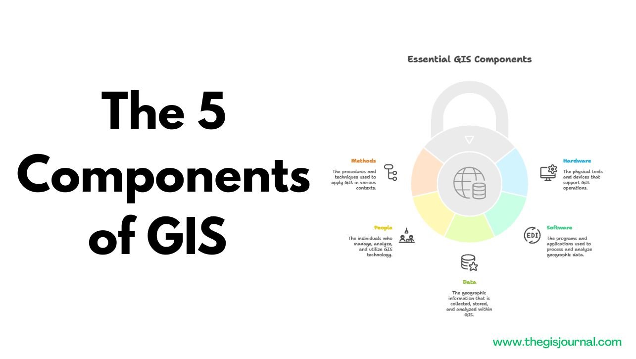
This document provides a concise overview of the five essential components that constitute a Geographic Information System (GIS). These components...
This document provides a concise overview of the five essential components that constitute a Geographic Information System (GIS). These components...
Create an Unsupervised Classification Map in ENVI: Complete Step-by-Step Guide. Remote sensing technology allows us to observe, analyze, and understand...
![How to Use QGIS for Precision Farming: A Beginner’s Guide [2025]](https://thegisjournal.com/wp-content/uploads/2025/05/ChatGPT-Image-May-19-2025-10_35_57-PM.png)
Precision farming is transforming agriculture by enabling data-driven decisions that improve crop yields and resource efficiency. At the heart of...
![How GIS is Revolutionizing Irrigation Planning in Dry Regions [2025]](wp-content/uploads/2025/05/ChatGPT-Image-May-18-2025-10_39_16-PM-1.png)
Practical Examples from Arid/Semi-Arid Zones Using Water Efficiency In water-scarce areas, especially arid and semi-arid regions, efficient irrigation is not...
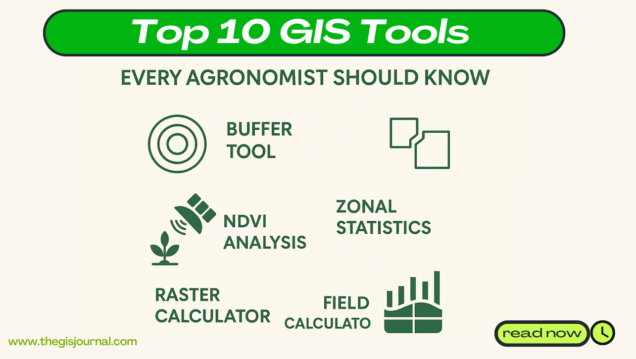
In the era of precision agriculture, GIS (Geographic Information Systems) has become an essential tool for agronomists. From analyzing crop...
![Land Suitability Analysis for Agriculture Using GIS: Methods & Case Studies [2025]](https://thegisjournal.com/wp-content/uploads/2025/05/tms-6-revised-1.png)
Land Suitability Analysis for Agriculture Using GIS: Methods & Case Studies perfect for Professional GIS Users. In an era of...

In an era of rapid population growth, climate change, and resource scarcity, ensuring food security remains one of the most...
![How to Use QGIS for Precision Farming: A Beginner’s Guide [2025]](https://thegisjournal.com/wp-content/uploads/2025/05/ChatGPT-Image-May-12-2025-08_49_15-PM.png)
Precision farming is revolutionizing agriculture in 2025, helping farmers maximize yield while minimizing input costs and environmental impact. One of...
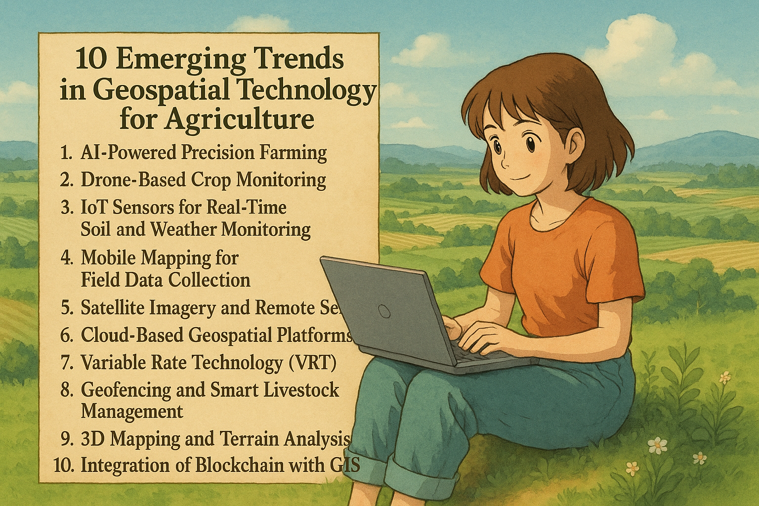
In the age of smart farming, geospatial technology is transforming how we grow food and manage land. With the integration...