Geospatial Information Systems (GIS) have long been crucial in mapping, spatial analysis, and location-based decision-making. However, traditional GIS tools often struggle with handling large datasets, real-time analysis, and predictive modeling. With the advent of DeepSeek AI, a powerful AI-driven tool, the GIS landscape is undergoing a transformation. This article explores how DeepSeek AI enhances GIS data processing, spatial analysis, and automation, revolutionizing the geospatial industry.
Understanding DeepSeek AI in GIS
DeepSeek AI is an artificial intelligence framework that integrates with GIS applications to streamline spatial data processing, automate complex analyses, and generate accurate insights. AI-powered GIS applications enhance efficiency, reduce manual effort, and improve decision-making in various domains, including urban planning, environmental monitoring, and disaster management.
Key Capabilities of DeepSeek AI in GIS
- Advanced Spatial Data Processing – Handles massive geospatial datasets efficiently.
- AI-Powered Spatial Analysis – Enables predictive modeling and real-time insights.
- Automation in GIS Workflows – Reduces manual efforts and speeds up processes.
- Improved Data Accuracy – Uses AI-driven data correction techniques.
- Real-Time Monitoring and Forecasting – Helps in disaster prediction and response.
1. Enhancing GIS Data Processing with DeepSeek AI
Big Data Handling & Management
GIS applications generate vast amounts of spatial data, which are difficult to process using conventional methods. DeepSeek AI enables:
- Efficient Data Cleaning & Preprocessing – Identifying and correcting errors in geospatial datasets.
- Faster Data Processing – AI-based algorithms reduce computational time.
- Seamless Integration with Cloud Computing – Supports large-scale GIS projects with cloud-based AI solutions.
Automating Geospatial Data Classification
DeepSeek AI leverages machine learning techniques such as:
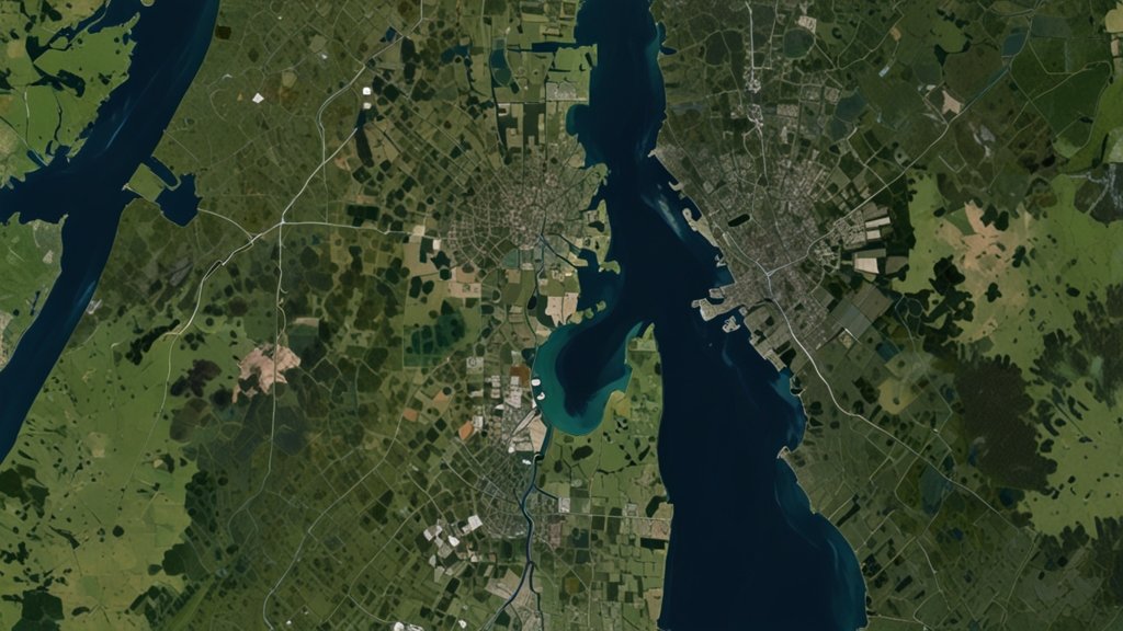
- Image Classification for Remote Sensing – Automatically classifies satellite images for land-use analysis.
- Object Detection in GIS – Identifies buildings, water bodies, and vegetation from aerial imagery.
- Spatial Data Labeling – Improves the accuracy of geospatial datasets using AI-driven annotation.
See Also: How GIS Users Use DeepSeek AI: Transforming Spatial Analysis with AI-Powered Insights
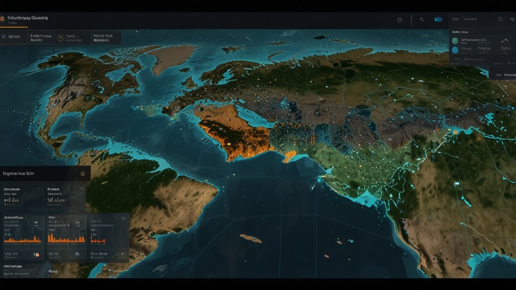
2. AI-Powered Spatial Analysis: The Future of GIS
Predictive Modeling for Environmental Monitoring

DeepSeek AI allows GIS professionals to predict environmental changes with high accuracy:
- Climate Change Impact Analysis – AI models forecast temperature changes and sea-level rise.
- Air Pollution Prediction – AI-based GIS tools analyze air quality trends using geospatial data.
- Flood and Disaster Risk Assessment – Deep learning models simulate flood-prone areas for better disaster preparedness.
AI in Urban Planning and Smart Cities
AI-driven GIS is transforming urban development with:
- Traffic Flow Prediction – AI models analyze and optimize urban traffic patterns.
- Smart Infrastructure Planning – DeepSeek AI assists in designing energy-efficient buildings and road networks.
- Land Use Optimization – AI-enhanced GIS tools help city planners allocate land for residential, commercial, and industrial use.
See Also: GeoAI: The New Era of Artificial Intelligence in Geography
3. GIS Workflow Automation Using DeepSeek AI
Reducing Manual Effort with AI
GIS workflows require intensive manual effort for mapping, analysis, and report generation. DeepSeek AI automates:
- Map Digitization – AI converts scanned maps into geospatial vector data.
- Automated Feature Extraction – Identifies land cover features from satellite images without human intervention.
- Change Detection in Remote Sensing – AI detects changes in land use over time.
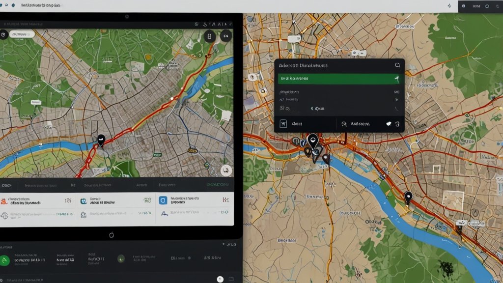
Real-Time Geospatial Decision-Making
By integrating AI with GIS platforms, organizations can achieve:
- Live Monitoring of Geographic Events – Tracks weather patterns, urban expansions, and natural disasters.
- AI-Powered Risk Assessment – Provides automated risk evaluations for infrastructure projects.
- Automated Reporting and Visualization – Generates geospatial reports in real-time for informed decision-making.
4. DeepSeek AI in Action: Real-World Applications
Disaster Management and Emergency Response
- AI-driven GIS helps predict and mitigate natural disasters.
- Rapid response mapping allows authorities to plan rescue operations efficiently.
Agriculture and Precision Farming
- Crop Health Monitoring using satellite imagery.
- AI-based soil analysis for optimal farming practices.
Wildlife Conservation and Forest Monitoring

- AI detects illegal deforestation and poaching activities.
- AI-powered GIS maps help track animal migration patterns.
See Also: Top 10 Industries That Can Benefit from DeepSeek AI
Challenges of Implementing AI in GIS
Despite its advantages, integrating DeepSeek AI into GIS comes with challenges:
- High Computational Requirements – AI processing requires robust hardware and cloud infrastructure.
- Data Privacy and Security Issues – Large-scale GIS-AI integration must comply with data protection regulations.
- Skill Gap in AI and GIS – Professionals need training to leverage AI in GIS effectively.
However, ongoing advancements in AI and cloud computing are addressing these challenges, making AI-driven GIS solutions more accessible.
Conclusion
The fusion of DeepSeek AI and GIS is revolutionizing geospatial intelligence. From automating GIS workflows to enhancing spatial analysis and predictive modeling, AI is unlocking new possibilities in geospatial applications. As AI continues to evolve, the potential for GIS to drive smarter cities, improved environmental monitoring, and better disaster response is limitless. Organizations that embrace AI-powered GIS solutions will gain a competitive advantage in the rapidly evolving geospatial industry.
Frequently Asked Questions (FAQs)
Q1: How does DeepSeek AI improve GIS analysis?
DeepSeek AI enhances GIS by automating data processing, improving accuracy, and enabling predictive spatial analytics for better decision-making.
Q2: Can AI automate GIS mapping and spatial data classification?
Yes, AI automates map digitization, feature extraction, and change detection, reducing manual efforts and improving efficiency.
See Also: DeepSeek Empowers Top 10 Companies with Game-Changing Benefits
Q3: What industries benefit from AI-powered GIS applications?
Industries such as urban planning, agriculture, disaster management, environmental monitoring, and transportation benefit greatly from AI-enhanced GIS.
Q4: What challenges exist in integrating AI with GIS?
Challenges include high computational needs, data privacy concerns, and the requirement for specialized AI-GIS expertise.
Q5: How can businesses adopt DeepSeek AI for GIS applications?
Businesses can integrate AI into GIS workflows by leveraging cloud-based AI solutions, investing in AI-powered GIS tools, and training professionals in AI applications.
3 thoughts on “DeepSeek AI in GIS: A New Era of Geospatial Intelligence [2025]”