Artificial intelligence is changing the way we analyze and understand our world. One of its most exciting applications is GeoAI, a combination of AI and geography that helps us interpret spatial data more efficiently. From urban planning to disaster management, GeoAI is transforming industries and improving decision-making processes. In this post, we’ll explore how GeoAI is reshaping geography and why it’s a game-changer for businesses and governments.
What is GeoAI?
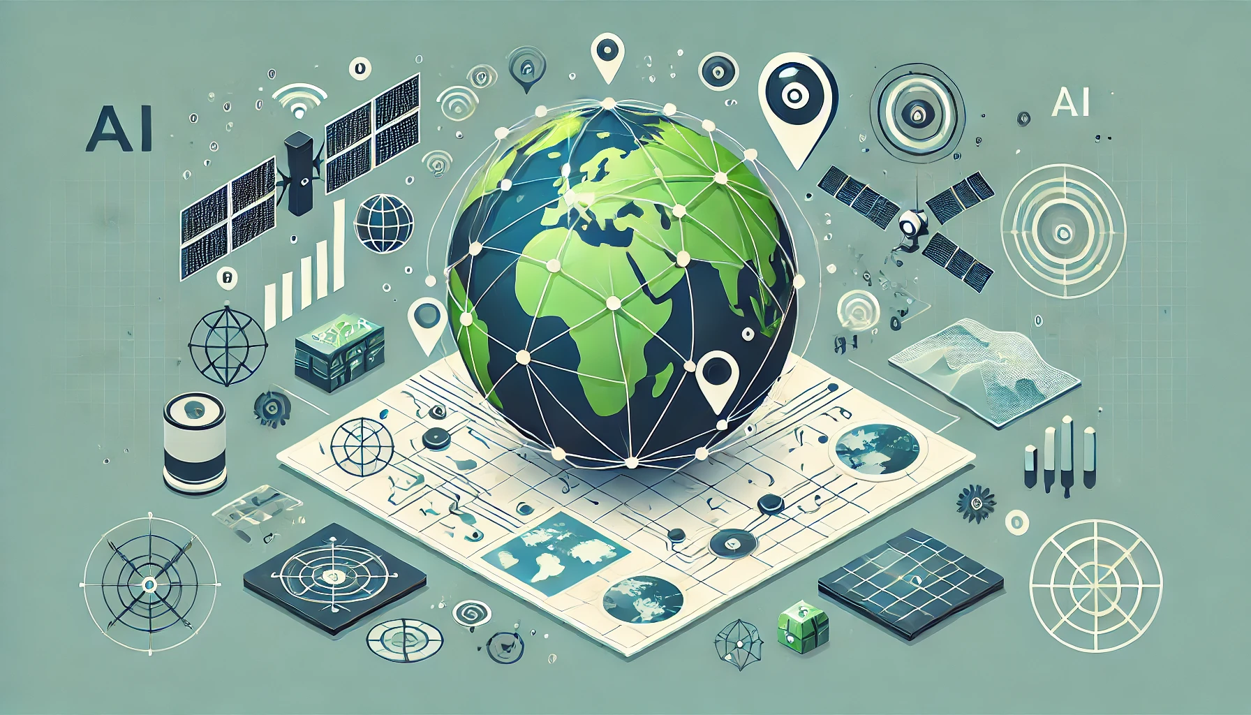
GeoAI, or Geospatial Artificial Intelligence, is the use of AI and machine learning to analyze and process geospatial data. It combines satellite imagery, geographic information systems (GIS), remote sensing, and big data analytics to extract meaningful patterns from geographic data.

With the increasing availability of high-resolution satellite imagery and IoT sensors, GeoAI is becoming more powerful. It enables automated mapping, location-based analytics, and real-time monitoring of geographic changes.
Key Applications of GeoAI
GeoAI is being applied across multiple sectors, helping industries leverage geographic data like never before. Here are some of its most impactful applications:
1. Urban Planning and Smart Cities
GeoAI helps cities become smarter by optimizing infrastructure development, transportation, and energy distribution. By analyzing traffic patterns and land usage, city planners can make informed decisions to reduce congestion and improve sustainability.
Example: AI-driven GIS models can predict urban expansion, helping governments plan better housing projects and public services.
2. Disaster Management and Climate Monitoring
GeoAI plays a crucial role in predicting and managing natural disasters. It analyzes climate data to forecast hurricanes, floods, and wildfires, allowing authorities to respond proactively.
Example: AI-powered satellite imagery detects early signs of wildfires, enabling quicker response times and minimizing damage.
See Also: DeepSeek Vs ChatGPT: The AI Battle Begins
3. Precision Agriculture
Farmers use GeoAI to monitor soil conditions, predict crop yields, and manage irrigation. By leveraging remote sensing and machine learning, agriculture becomes more data-driven and efficient.
Example: AI algorithms analyze satellite images to detect pest infestations and recommend precise interventions, reducing crop losses.
See Also: 10 Best Universities in the UK for International Students in 2025
4. Public Health and Epidemiology
GeoAI helps track and predict the spread of diseases by analyzing location-based health data. This is especially useful in monitoring pandemics and optimizing healthcare services.
Example: During COVID-19, AI-powered heat maps tracked virus outbreaks in real time, helping policymakers make informed decisions.
5. Environmental Protection and Conservation
GeoAI supports environmental sustainability by monitoring deforestation, air pollution, and biodiversity changes. Conservationists use it to map endangered species’ habitats and combat illegal activities like poaching.
Example: AI analyzes satellite images to detect deforestation in real time, alerting authorities to illegal logging activities.
See Also: 10 Best Crop Analysis Software for 2025
The Future of GeoAI
GeoAI is still evolving, but its potential is massive. Advances in deep learning, cloud computing, and geospatial analytics will make GeoAI even more powerful. Here are some key trends shaping its future:
- Real-time Geospatial Analytics: Faster processing speeds will enable real-time mapping and decision-making.
- Integration with IoT: Smart devices and sensors will provide even more accurate location-based insights.
- Ethical and Privacy Considerations: As geospatial AI becomes more sophisticated, addressing data privacy concerns will be essential.
See Also: Astronomy MCQ Questions Free Practice Set-2
Conclusion
GeoAI is revolutionizing how we interact with geographic data. From improving city planning to tackling climate change, its applications are limitless. Businesses, governments, and researchers are just beginning to unlock its potential. As AI technology advances, GeoAI will play an even bigger role in shaping the world around us.
1 thought on “GeoAI: The New Era of Artificial Intelligence in Geography”