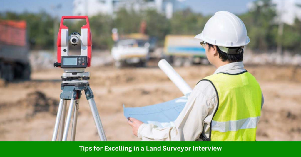
Land surveyors play a crucial role in defining property boundaries, ensuring accurate construction layouts, and contributing to urban planning and environmental conservation. If you’re preparing for a land surveyor interview, being ready for commonly asked questions can make all the difference. Here’s a list of the top 15 land surveyor interview questions, along with insights to help you craft effective answers.
15 Land Surveyor Interview Questions and Answers
1. Can You Explain What Land Surveying Is?
Answer:
Land surveying involves measuring and mapping the land to determine property boundaries, elevation levels, and land features. It combines fieldwork and data analysis using tools like GPS, theodolites, and GIS software.
2. What Tools and Equipment Are Essential for a Land Surveyor?
Answer:
Key tools include:
- GPS systems for geolocation.
- Total stations for accurate measurements.
- Auto levels for leveling and height measurements.
- Drones for aerial surveying.
3. How Do You Ensure Accuracy in Your Surveying Measurements?
Answer:
- Conduct multiple measurements for consistency.
- Use calibrated equipment.
- Cross-check data with known benchmarks.
- Utilize software for data validation.
Read Also: Top 17 Cartographer Interview Questions
4. Describe Your Experience With GIS and CAD Software.
Answer:
GIS (e.g., ArcGIS) helps analyze spatial data, while CAD (e.g., AutoCAD) is used for creating maps and construction plans. I have [mention years] of experience using both to integrate field data into detailed maps and designs.
5. What Steps Do You Follow When Conducting a Land Survey?
Answer:
- Understand project requirements.
- Research property records and legal descriptions.
- Conduct field measurements using surveying tools.
- Analyze data and create maps/reports.
Read Also: Top 15 Mapper Interview Questions & Answers
6. How Do You Handle Conflicts Over Property Boundaries?
Answer:
I rely on historical records, legal documentation, and accurate field measurements to provide objective data. Communication with stakeholders is essential to resolve disputes.
7. Can You Explain Elevation and Its Importance in Surveying?
Answer:
Elevation measures the height of a point relative to sea level or a reference point. It’s crucial for construction, flood analysis, and determining drainage patterns.
Read Also: Top 15 Aerial Photogrammetrist Interview Questions & Answers
8. What Are the Key Challenges in Land Surveying?
Answer:
- Working in adverse weather conditions.
- Navigating difficult terrains.
- Resolving discrepancies in old property records.
- Keeping up with evolving technology.
9. How Do You Ensure Compliance With Legal and Regulatory Standards?
Answer:
I stay updated on local, state, and federal regulations, adhere to property laws, and work closely with legal professionals to ensure surveys meet all requirements.
10. Have You Ever Worked on a Complex Survey Project?
Answer:
Yes, [describe a specific project]. I managed multiple stakeholders, used advanced tools like drones and GIS, and resolved challenges like [specific issue].
Read Also: Top 15 Imagery Analyst Interview Questions & Answers
11. What Techniques Do You Use for Topographic Surveys?
Answer:
I use total stations, GPS, and drones to collect data on land features and elevation. Then, I process the data in CAD or GIS to create detailed topographic maps.
12. How Do You Stay Updated With the Latest Surveying Technologies?
Answer:
I attend workshops, participate in professional forums, and subscribe to industry publications. Continuous learning is crucial in this evolving field.
Read Also: Top 15 LIDAR Technician Interview Questions & Answers
13. What Safety Protocols Do You Follow in the Field?
Answer:
- Wear protective gear.
- Follow traffic safety rules.
- Ensure equipment is properly handled.
- Conduct regular team briefings on potential hazards.
14. How Do You Manage Deadlines in a Large-Scale Project?
Answer:
I create a detailed project plan, allocate tasks effectively, and regularly monitor progress. Using project management tools ensures timelines are met.
15. Why Do You Want to Work With Our Company?
Answer:
Research the company and mention specific points such as its reputation, innovative projects, or alignment with your career goals. For example:
“Your company’s commitment to sustainable urban planning aligns with my passion for leveraging land surveying for environmental impact.”
Read Also: Top 15 Cadastral Mapper Interview Questions
Tips for Excelling in a Land Surveyor Interview

- Research the company’s projects and values.
- Prepare examples of past projects.
- Demonstrate technical and soft skills, such as teamwork and problem-solving.
- Show enthusiasm for the role and industry.
Conclusion
Preparing for a land surveyor interview is about blending technical expertise with clear communication. By understanding these common questions and tailoring your answers to highlight your skills and experience, you’ll set yourself apart as a strong candidate.

1 thought on “Top 15 Land Surveyor Interview Questions and Answers”